New York Secondary Mapping: Evaluation Guides
Start Exploring Your New York Mapping Program
Nystrom Secondary Mapping Programs help New York middle school students explore the U.S. and New York history through maps, atlases, data, images, and informational text. Ready-to-teach, hands-on activities build geographic literacy, spatial reasoning, and critical-thinking skills as students analyze evidence, discuss ideas, and work together. Flexible and easy to incorporate into instruction, the programs support active, collaborative learning across grades 6–8.
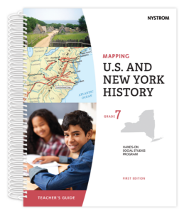
Mapping U.S. and New York History — Grade 7
Seventh graders explore early U.S. and New York history, from colonization through the Civil War era, using geography to understand settlement, expansion, and change.
Gather the atlas, activity map, and marker from your Evaluation Kit to get ready to experience a lesson.
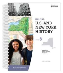
Mapping U.S. and New York History — Grade 8
Eighth graders examine U.S. and New York history from industrialization through the contemporary era, using maps and geographic evidence to analyze change over time.
Gather the atlas, activity map, and marker from your Evaluation Kit to get ready to experience a lesson.
Everybody Succeeds with Secondary Mapping
Watch these reels from our Partnerships & Instruction team!
Playlist
2:13
2:13
1:16
1:56
Have questions or need help?