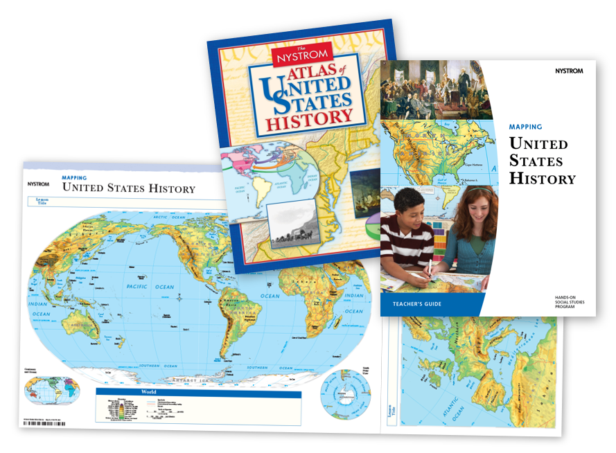
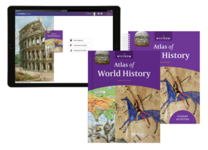
Help students see the bigger picture with Mapping Our World, Mapping World History, and Mapping U.S. History. These hands-on programs connect historical events to their geographic context, turning history lessons into compelling stories of when and where events happened.
Key Features:
Nystrom Atlas Packs combine engaging maps, charts, and graphs with interactive activities to build geographic literacy and critical thinking for all grade levels.
Why Choose Nystrom Atlas Packs?
Please fill out the form and your curriculum specialist will be in touch shortly.
Elementary
| Secondary
|
U.S. History
| World History
|
Texas
|