
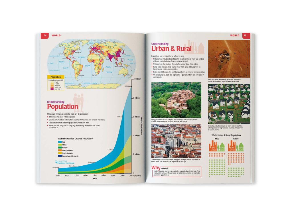
With the World Atlas and activities, your students will interact with chunked text as well as vivid photos depicting the seven continents. The photos show people and places in geographic context and bring abstract ideas to life.
Students interpret a wide variety of maps, including locator maps and thematic maps. And they draw conclusions based on information provided in diagrams and data provided in graphs.
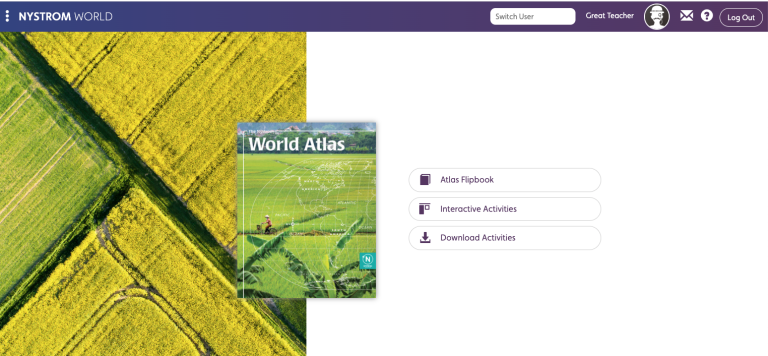
The World Atlas is available in print and online at Nystrom World. Get a free trial to explore more. Fill out the form below.
Please fill out the form and your curriculum specialist will be in touch shortly.
Elementary
| Secondary
|
U.S. History
| World History
|
Texas
|