
Geographic literacy is more than memorizing maps, it’s about understanding how people, places, and environments connect and shape our world. The Western Hemisphere is a tapestry of diverse landscapes, cultures, and histories. And the Western Hemisphere Atlas is the perfect tool for exploring.
Built for teachers and leaders who want to inspire curiosity and global awareness, the Western Hemisphere Atlas unlocks the stories, connections, and complexities that shape our part of the world.
By deepening geographic literacy and building background knowledge, the atlas empowers students to understand not just where places are, but why they matter.
With the Western Hemisphere Atlas in hand, students read, investigate, compare, and discover. Through maps, graphs, charts, images, and informational texts, they explore regions, trace migrations, and connect historical events to geographic features.
The atlas empowers students to think critically about the world, make connections across cultures and time periods, and build a deeper understanding of the Americas and the Caribbean—all through exploration and inquiry.
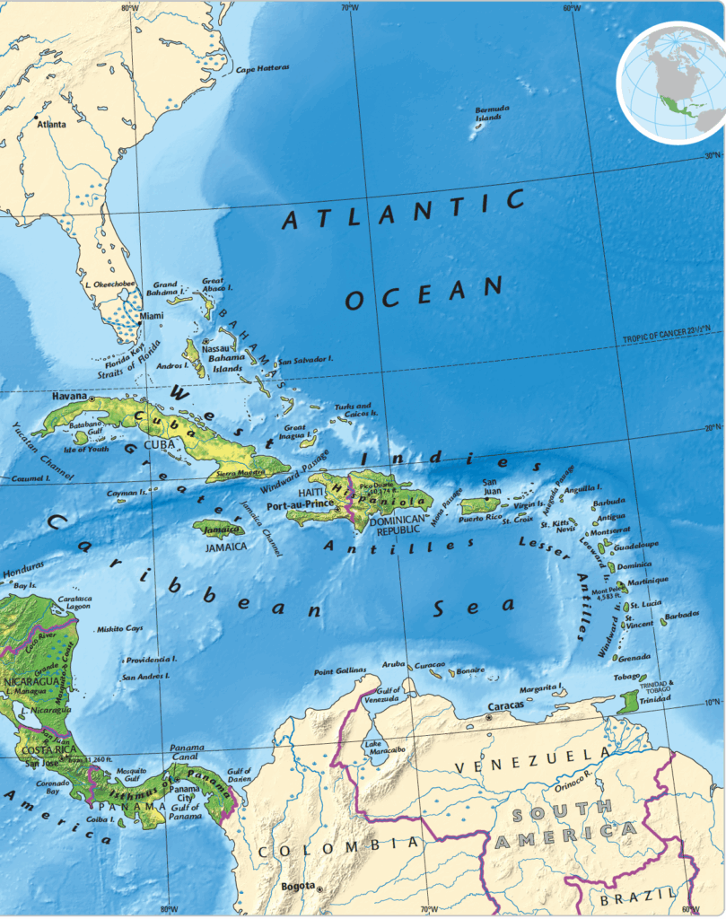
Comprehensive Maps: Political, physical, and regional maps that reveal the geography of the Western Hemisphere in vivid detail.
Engaging Texts: Accessible explanations of migrations, civilizations, economies, and cultures, all woven into the story of the Americas and the Caribbean.
Reference Tools: Detailed legends, glossaries, and indexes to support deeper exploration and understanding.
Get in touch to discuss the best way to bring the atlas into your classsroms. Fill out the form and your curriculum specialist will be in touch shortly.
Elementary
| Secondary
|
U.S. History
| World History
|
Texas
|