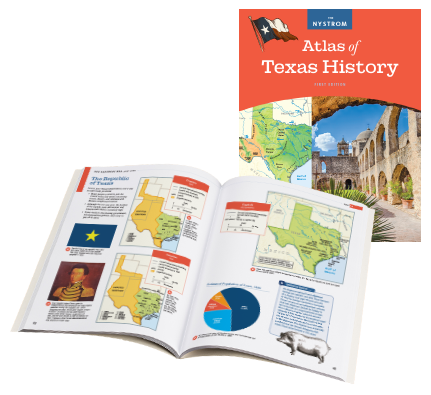
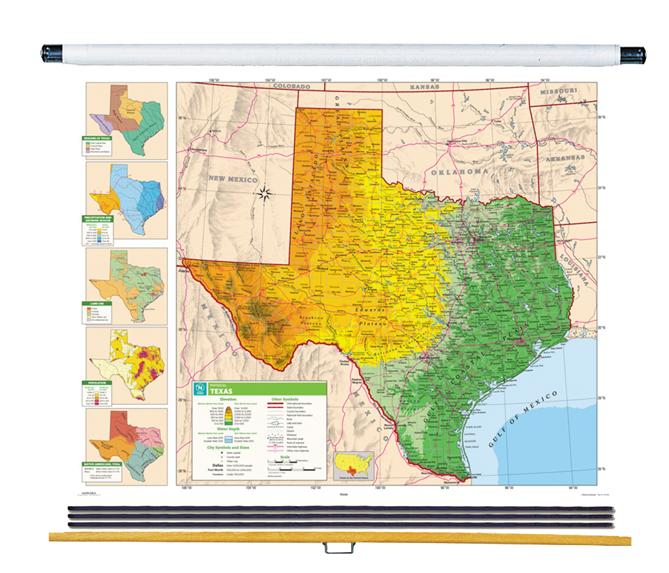
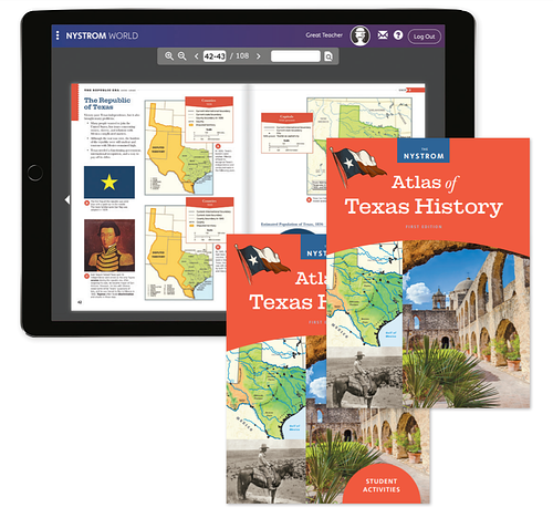
The First Edition Nystrom Atlas of Texas History is specifically designed to meet TEKS objectives and history standards. The atlas provides concise, necessary information. A diverse range of notable figures are highlighted, many of which would not get the properly deserved attention from larger textbooks.

A World of Learning
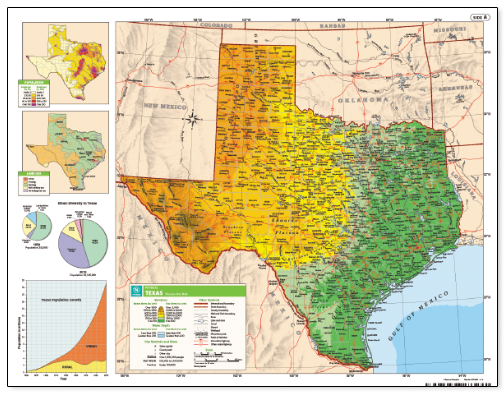
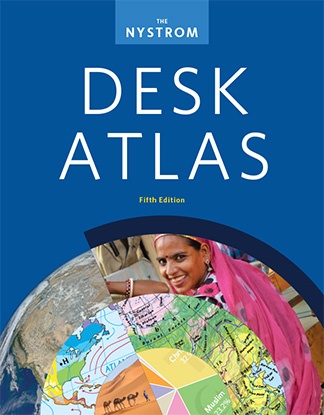
The Fifth Edition Nystrom Desk Atlas includes political relief, land cover, and sculptural relief maps, plus regional maps, thematic maps, cross-section elevation profiles, infographics, captioned photographs, and Issues Today articles.