My Account / Cart / Log In

Inspire Active
Learning

Develop informed citizens today by bringing this interactive simulation into the classroom!
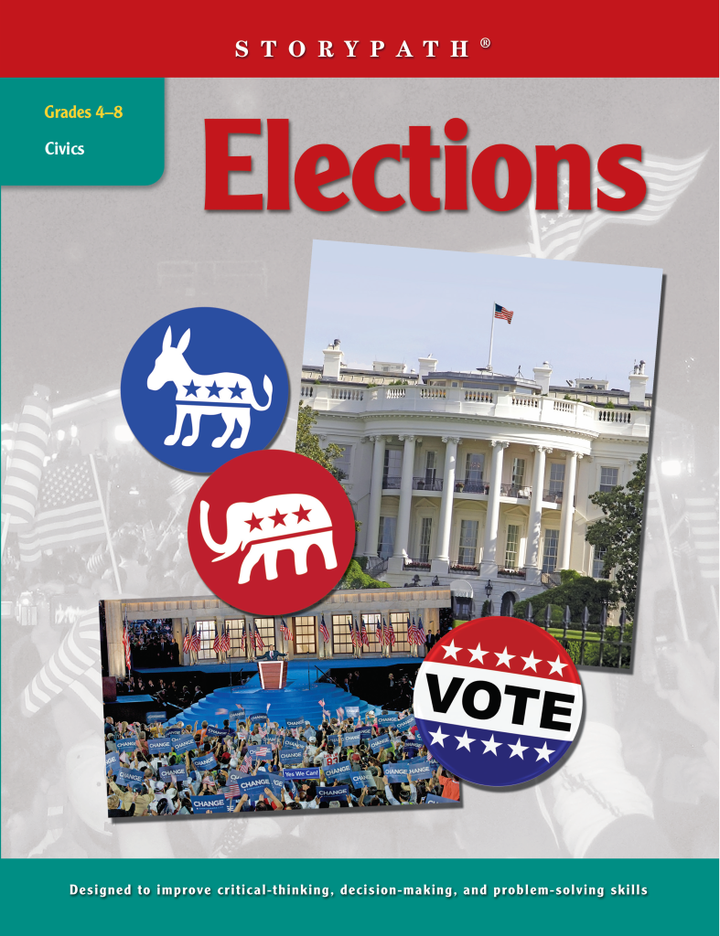
Easily adaptable to state and local elections

A Storypath unit making elections fun


Engage your entire class in this interactive electoral process. Create an interactive narrative where students are in control of creating their own political parties, campaigns, and slogans. Use character-based learning to teach them everything about the American political system, from the start of a campaign to the swearing-in ceremony.

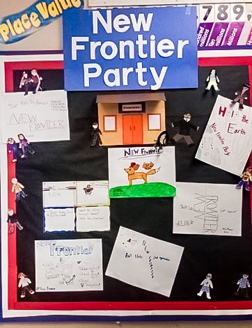
Foster Active Learning

By immersing themselves in interactive learning, students will develop literacy skills, learn how to debate issues, and negotiate problems throughout the campaign simulations.

How will you empower teachers to immerse their students in democratic elections while also building crucial literacy skills?
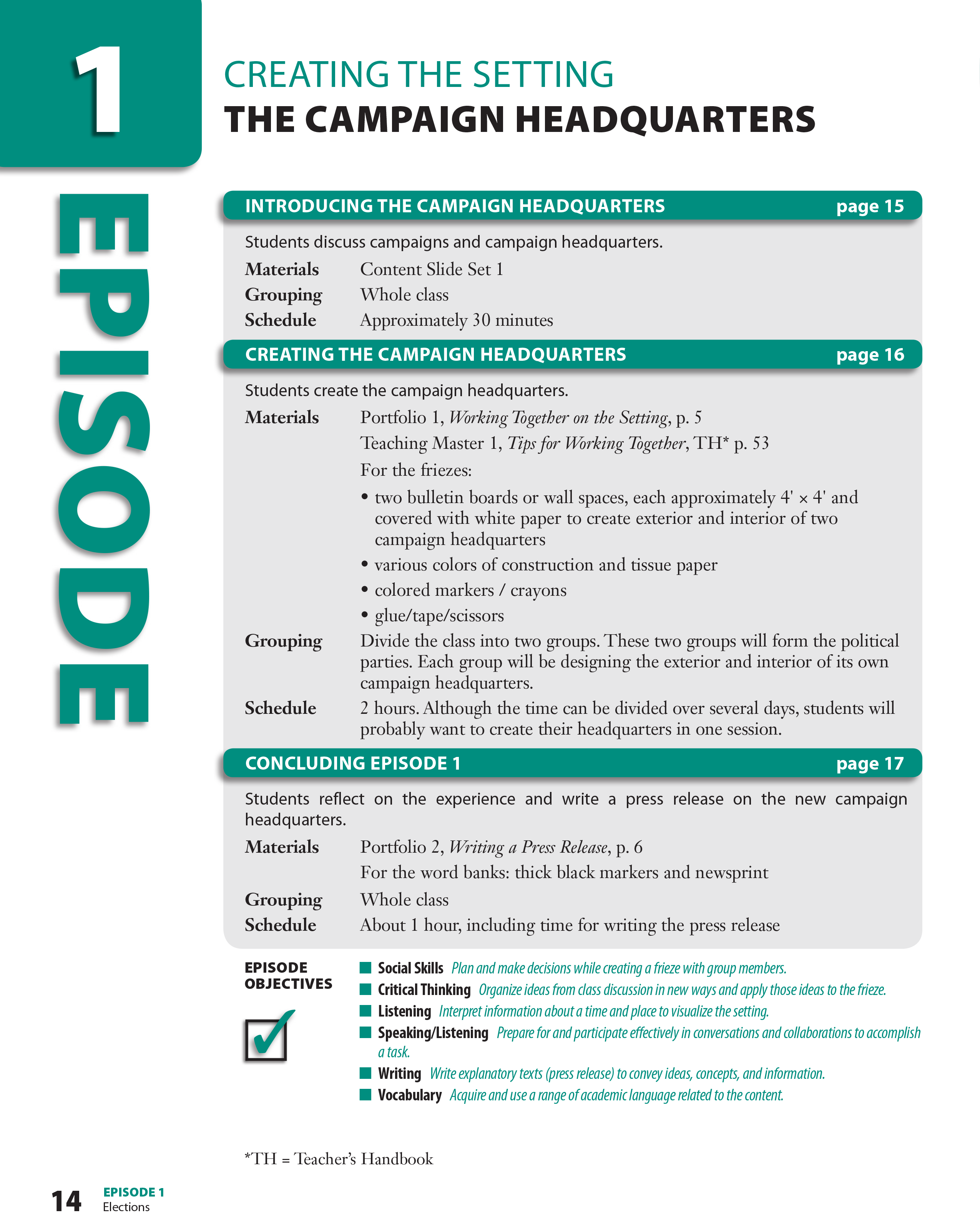
Teacher_s_Guide_Photo

Teacher's Handbook

With this tool, teachers are empowered to seamlessly use the power of storytelling to bring each topic to life. 

Components:

  • Episode Planning guides with an instructional plan and materials
  • Teaching Notes for detailed support
  • Teaching Masters provide nonfiction content and writing models specific to the unit’s content
  • Student Assessments throughout the unit contain strategies and unit questions for review
FOR GRADES
4
5
6
7
8
Student_Portfolio_1

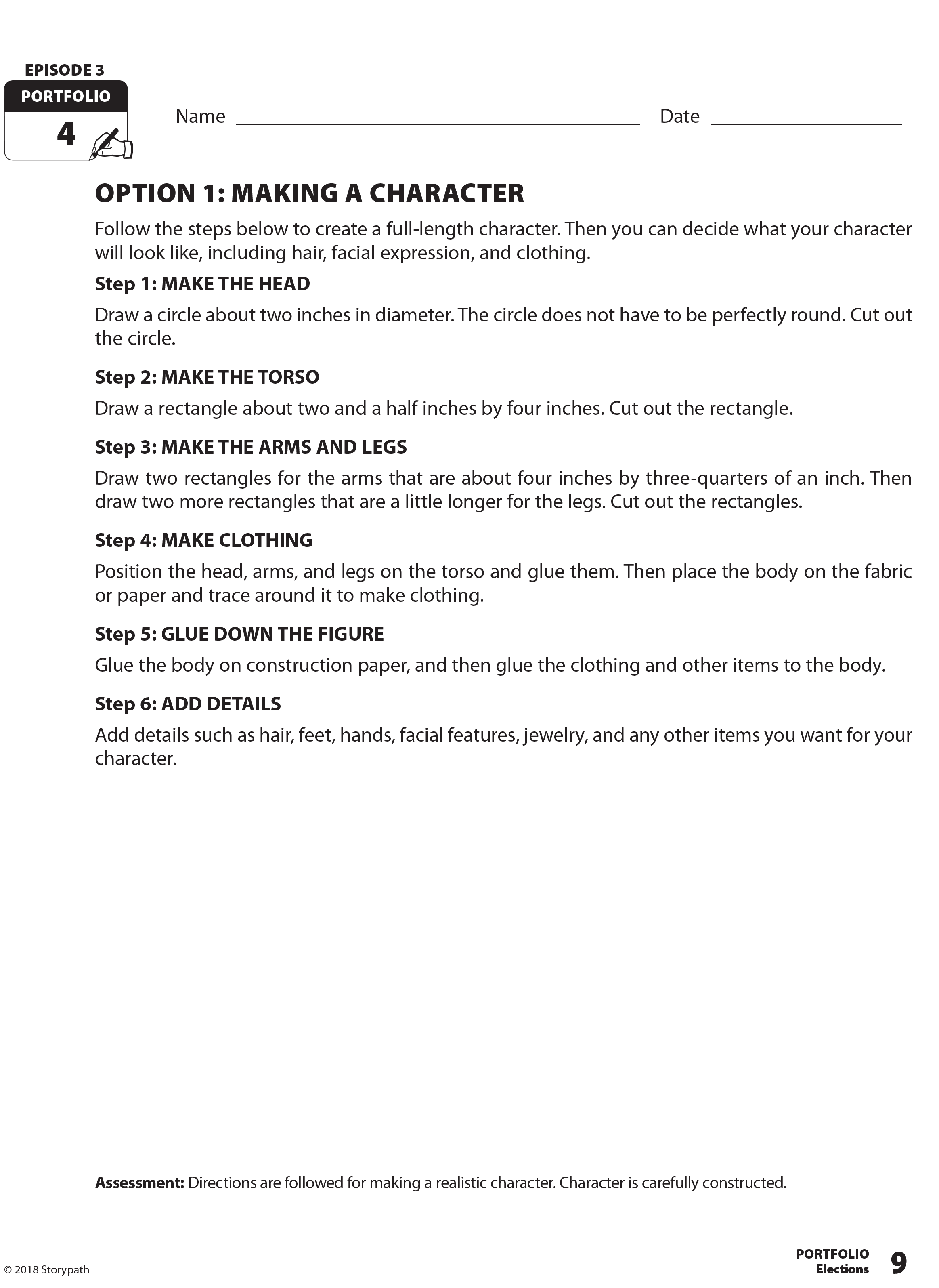
The Student Portfolio

Students learn and practice their literacy and comprehension skills as they work through the Student Portfolio to create characters, organize their ideas, plan and write speeches, and more.


Highlights of the Student Portfolio:

  • Use the Portfolio to read, write, conduct research and complete activities crucial to the unit
  • Helps students manage their work throughout the process
  • When complete, it becomes an authentic assessment tool
FOR GRADES
4
5
6
7
8
Set_Slides_Photo_1

Content Slide Sets

Each Styorypath unit is accompanied by a slide presentation that presents the educational content students will use to build their stories, as well as guidance on how to make the most of the lessons.

Content Overview:

  • Focused nonfiction content that can be used for independent, paired, or small-group reading
  • Students will use the slides to build context and deepen their understanding of the unit
  • Specific suggestions of how to use each slide as unit progresses
  • “Reading Tips” PDF chart to help remind students of key reading strategies
FOR GRADES
4
5
6
7
8

Start Meeting Standards and Student Needs

Fill out the form and one of our curriculum specialists will be in touch shortly!

Elementary

  • Maps: Primary: ELS
  • Maps: Primary: Readiness
  • Maps: Primary: Outline World Map
  • Maps: Intermediate: Physical
  • Maps: Intermediate: Political
  • Maps: Intermediate: Continents and Oceans Thematic
  • Maps: Intermediate: Wealth of Countries Thematic
  • Maps: Intermediate: Precipitation Thematic
  • Maps: Intermediate: Temperature Thematic
  • Maps: Intermediate: Time Zones Thematic
  • Maps: Intermediate: Land Use Thematic
  • Maps: Intermediate: Population Thematic
  • Maps: Intermediate: Outline World Map
  • U.S. History:1 Native Americans
  • U.S. History:2 Spanish Explorers
  • U.S. History:3 Explorers
  • U.S. History:4 The Great Exchange
  • U.S. History:5 European Settlements
  • U.S. History:6 Thirteen Britishi Colonies
  • U.S. History:7 Slevery In the Americas
  • U.S. History:8 Revolutionary War
  • State Map

Secondary

  • Maps: Intermediate: Physical
  • Maps: Intermediate: Political
  • Maps: Intermediate: Continents and Oceans Thematic
  • Maps: Intermediate: Wealth of Countries Thematic
  • Maps: Intermediate: Precipitation Thematic
  • Maps: Intermediate: Temperature Thematic
  • Maps: Intermediate: Time Zones Thematic
  • Maps: Intermediate: Land Use Thematic
  • Maps: Intermediate: Population Thematic
  • Maps: Intermediate: Outline World Map
  • Maps: Secondary: Land Use Thematic
  • Maps: Secondary: Population Thematic
  • Maps: Secondary: Political Relief
  • Maps: Secondary: Land Cover
  • Maps: Secondary: Scupltural Relief
  • Maps: Secondary: Growing Seasons Thematic
  • Maps: Secondary: Climate Thematic
  • Maps: Secondary: Tectonic Plates Thematic
  • Maps: Secondary: Precipitation Thematic
  • Maps: Secondary: Outline World Map
  • State Map

U.S. History

  • Native Americans
  • Spanish Explorers
  • Explorers
  • The Great Exchange
  • European Settlements
  • Thirteen British Colonies
  • Slavery in the Americas
  • Revolutionary War
  • American Expansion
  • Explorations of the West
  • Trails West
  • War with Mexico
  • Slavery Divides the Nation
  • Slavery and the Economy
  • Union and Confederacy
  • Civil War
  • Conflicts with Indians
  • Railroads Tansform the West
  • Industrial United States
  • Immigrants 1895–1929
  • World War I in Europe
  • Great Depression and Dust Bowl
  • World War II in Europe 1939–1942
  • World War II in the Pacific 1941–1945
  • Great Migration 1940–1970
  • Korean War
  • Cold War
  • Vietnam War
  • Persian Gulf War
  • A Shifting Population
  • Immigrants Sinve 1970

World History

  • New Babylonian Empire
  • Ancient Egypt
  • Chinese Dynasties
  • Ancient India
  • Athens and Sparta
  • Alexander’s Empire
  • Roman Empire
  • Barbarians and the Roman Empire
  • Silk Road and Eurasian Trade
  • Byzantine Empire
  • Charlemagne’s Frankish Empire and the Holy Roman Empire
  • Spread of Islam
  • World of the Crusades
  • China in the Middle Ages
  • Mongol Conquest
  • Rise and Fall of Shogun Japan
  • Exploration
  • Maya, Aztec, and Inca
  • European Exploration and Land Claims
  • African Empires and States
  • Rise of Ottoman Empire
  • Reformation and Counter Reformation
  • European Trading Empires
  • Rise and Fall of Mughal Empires
  • Independence in the Americas
  • Napoleon’s Europe
  • Europe After the Congress of Vienna
  • Africa Under Foreign Rule
  • World War I
  • World War II
  • Cold War
  • World Conflicts Since 1991

Texas

  • Spanish Explorers
  • Western Explorations
  • Trails West
  • War with Mexico
  • Indian Wars
  • Railroads & The West
  • Great Migration
  • population Loss and Growth
  • Native Americans in TX
  • Spanish Settlements
  • Republic of Texas
  • Energy Resources of TX
  • Texas Readiness Map
  • Texas Desk Map
  • Texas State Map