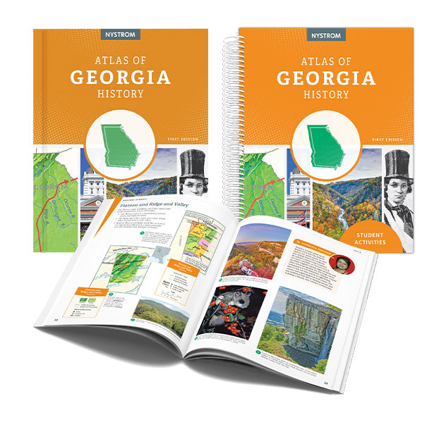
State Atlas Packs: Local Learning with Lasting Impact
Build Geographic Thinking with Atlas Packs
Nystrom Atlas Packs combine investigation, interpretation, and interactive learning in one complete solution. Students use visually rich maps, graphs, and charts to explore geography, history, and current events, while building critical thinking through multistep questions and exposure to multiple perspectives. Atlas Packs support depth of knowledge (DOK) and geographic literacy at every grade level.

Each Atlas Pack includes:
30 student atlases
Reproducible student activity book
Everything works together to make teaching seamless and student learning more meaningful.
Nystrom State Atlas Packs help middle and high school students explore their own state’s geography, history, and civics through hands-on, visual learning. Each pack includes 30 state-specific atlases and a reproducible Student Activity Book with skill-building lessons that guide students in interpreting maps, timelines, photographs, and graphs. Students gain a deeper understanding of their state’s unique role in the broader national story—while strengthening map skills and critical thinking along the way.
