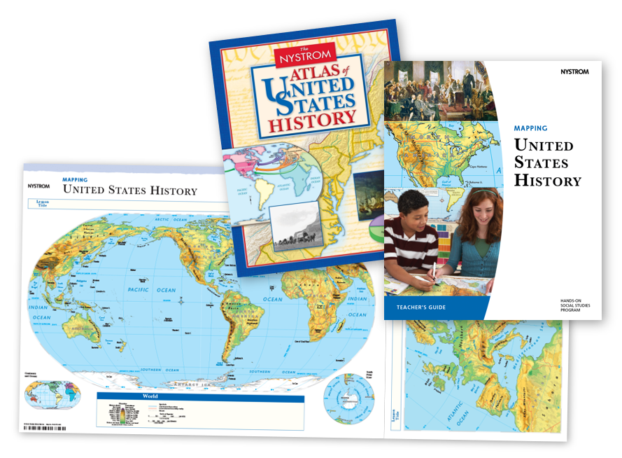
Make history feel tangible by showing where it all happened. Mapping United States History is a robust program that integrates geography with history, helping students cultivate map skills, enhance geographic literacy, and sharpen critical thinking.
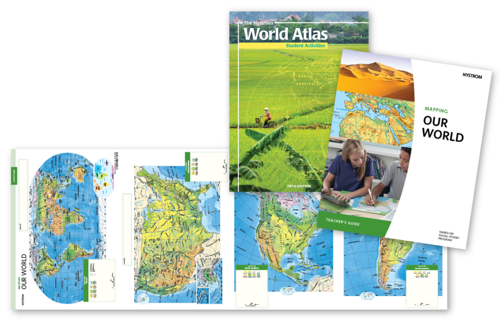
Mapping Our World provides students with rich coverage of each continent. The opportunities for exploration are endless with a variety of land cover, political relief, and thematic maps at your fingertips.
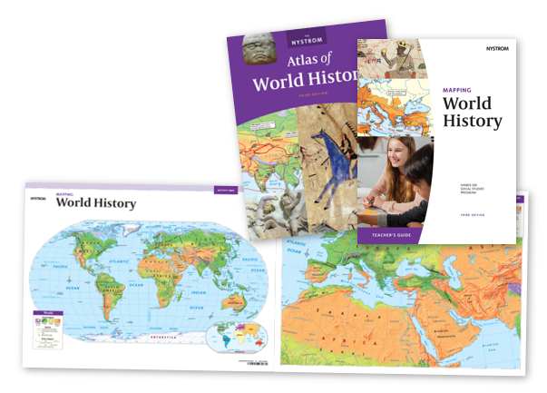
Relate world history to your students’ modern lives with our highly visual, hands-on Mapping World History program. Students will merge tangible geographic context with historical events, leading to deeper engagement without sacrificing rigor.
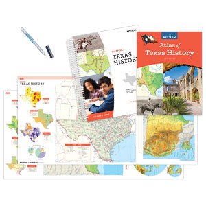
Immerse students in Texas history through key themes and events as they play out in place to build a solid foundation of geographical history. Built around the TEKS, this mapping program is uniquely designed to meet the needs to Texas classrooms.
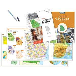
Bring Georgia’s story into sharp focus as students trace historical events across maps that highlight the connections between people, places, and time. Designed to support standards-based instruction, this dynamic mapping program helps students build geographic literacy while deepening their understanding of Georgia’s rich and complex past.
Discover how geography shaped early U.S. and New York history. This hands-on mapping program helps students connect key themes and events to the places where they happened, building a strong foundation in geographical history. Built around the New York State Social Studies Framework, Mapping U.S. and New York History – Grade 7 is uniquely designed to meet the needs of New York classrooms.
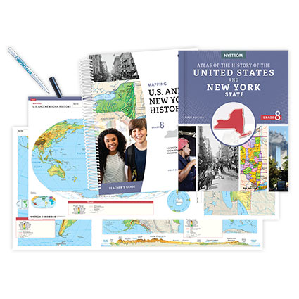
Explore the connections between geography and historical change. This mapping program immerses students in the evolving story of New York and the United States, helping them analyze key events through a geographic lens. Built around the New York State Social Studies Framework, Mapping U.S. and New York History – Grade 8 provides the tools students need to visualize history and develop spatial-thinking skills.