
Our secondary mapping programs were created to help students see the world differently—through patterns, place, and perspective. By equipping teachers with powerful mapping tools that make geographic thinking visible and tangible, the program strengthens instruction and coherence.
Students build the spatial reasoning, analytical confidence, and real-world awareness they need to understand an interconnected world and their place within it.
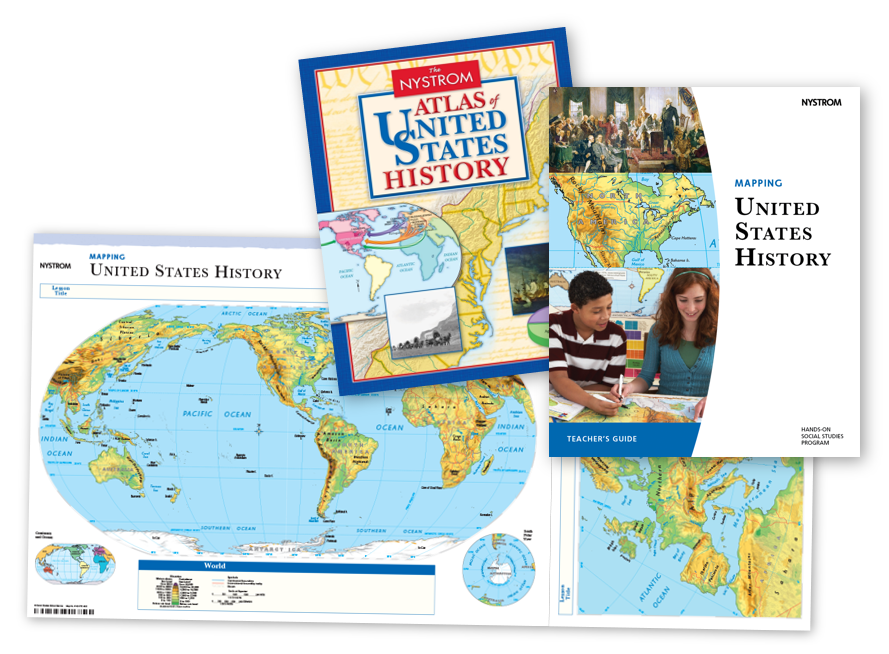
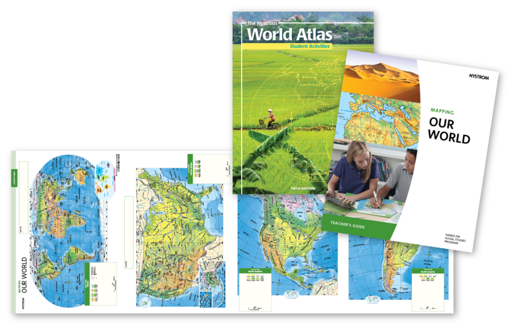
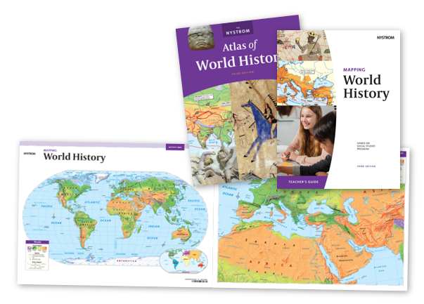
Each program includes a Teacher’s Guide, a class set of 30 student atlases, and a class set of 15 markable desk maps.
Make history feel tangible by showing where it all happened. Mapping United States History is a robust program that integrates geography with history, helping students cultivate map skills, enhance geographic literacy, and sharpen critical thinking.
Mapping Our World provides students with rich coverage of each continent. The opportunities for exploration are endless with a variety of land cover, political relief, and thematic maps at your fingertips.
Relate world history to your students’ modern lives with our highly visual, hands-on Mapping World History program. Students will merge tangible geographic context with historical events, leading to deeper engagement without sacrificing rigor.
Please fill out the form, email sales@socialstudies.com, or call 800-421-4246 to connect with your curriculum specialist.
Elementary
| Secondary
|
U.S. History
| World History
|
Texas
|