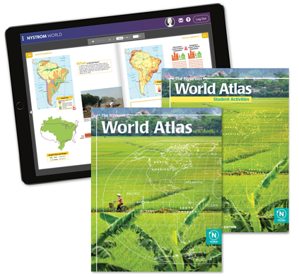
Atlases for
every classroom
Help students visualize the world’s lands and peoples with highly visual geography and history content
Evoke the spirit of investigation and exploration with Nystrom's atlases and activities
Atlases by Subject
Nystrom offers unique atlases and activities for a variety of secondary subjects. Our atlases integrate social studies concepts with tangible current events that enhance student comprehension and spark inquiry.
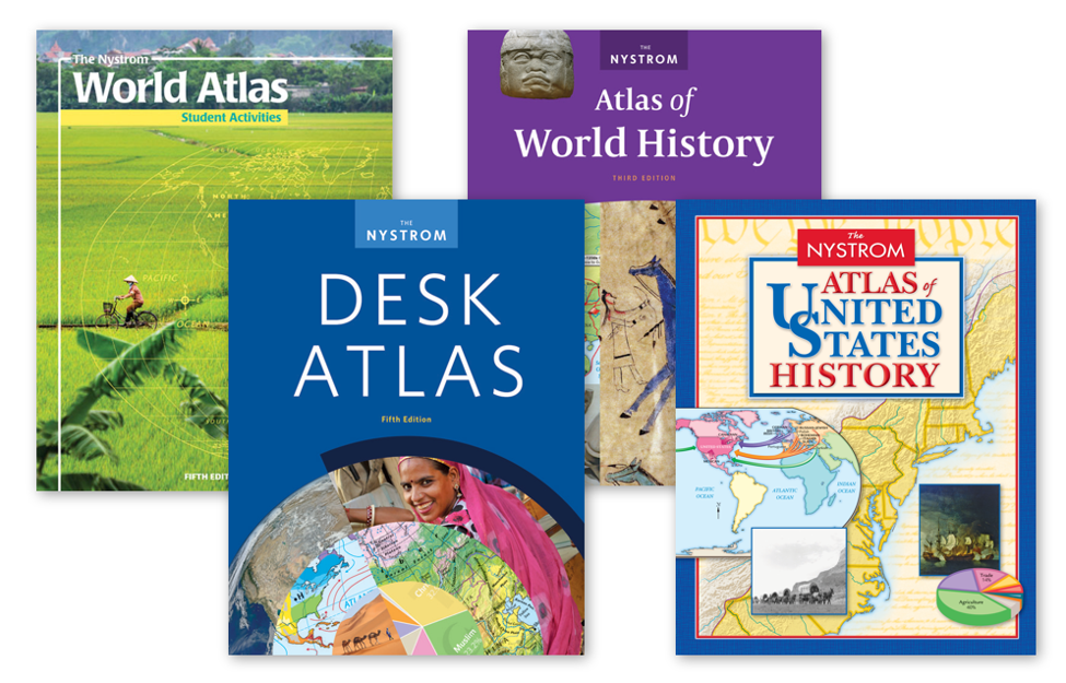
The Nystrom Desk Atlas
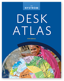
The Nystrom Atlas of U.S. History
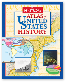

The Nystrom Atlas of World History
The Nystrom World Atlas
Explore places near and far with The Nystrom World Atlas. In this atlas you will find shaded-relief political maps, shaded-relief land cover maps, thematic maps, photographs, infographics, and explanatory sidebar text for all seven continents.
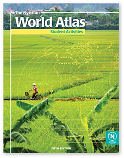
Discover all of the ways to enhance your atlas
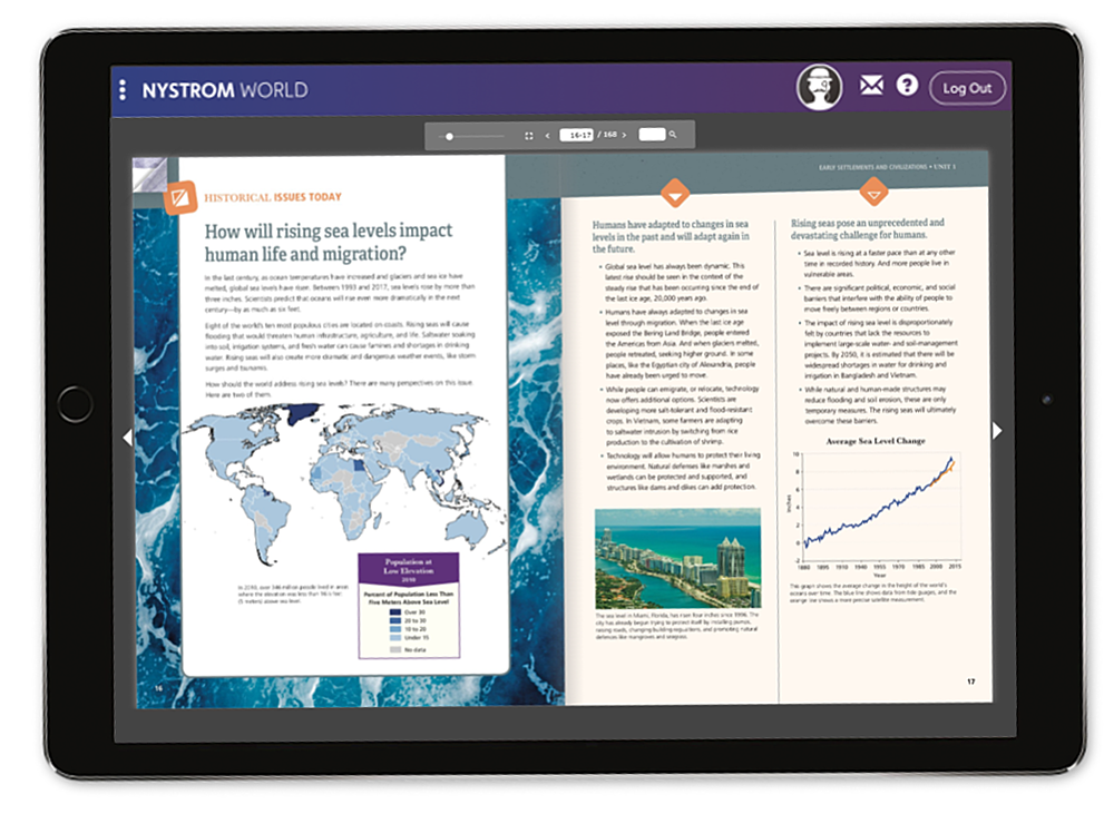
Digital Atlases and Activities
Nystrom World is the digital home for all of our maps, atlases, and mapping programs as well as exclusive interactive activities.
Access your atlas digitally from any device when you sign up for a subscription.
Search for and assign interactive activities to engage your 21st century learners.

Mapping Programs
Our mapping programs pair your favorite Nystrom atlases with markable activity maps and a teacher’s guide for a participatory, hands-on learning experience.
Our Mapping Programs
