Secondary Atlas Packs: Deeper Thinking Through Maps and History
Build Geographic Thinking with Atlas Packs
Nystrom Atlas Packs combine investigation, interpretation, and interactive learning in one complete solution. Students use visually rich maps, graphs, and charts to explore geography, history, and current events, while building critical thinking through multistep questions and exposure to multiple perspectives. Atlas Packs support depth of knowledge (DOK) and geographic literacy at every grade level.

Each Atlas Pack includes:
30 student atlases
Reproducible student activity book
Everything works together to make teaching seamless and student learning more meaningful.
Nystrom Secondary Atlas Packs help middle and high school students explore geography, history, and current events through hands-on, visual learning. Each pack includes 30 subject-specific atlases and a reproducible Student Activity Book with skill-building lessons that guide students in interpreting maps, graphs, photographs, and infographics. Students engage with “Issues Today” and “Historical Issues Today” articles to explore multiple perspectives on timely and historical topics.

Sample coming soon!
Give secondary students a global view with the Nystrom Desk Atlas—a visually rich reference and teaching tool that helps students analyze the world’s land, peoples, and patterns. Through shaded-relief maps, thematic data, and “Issues Today” articles, students explore environmental, economic, and cultural topics from fresh perspectives.What’s Included:
-
30 copies of the Nystrom Desk Atlas
-
112-page reproducible Student Activity Book
Features:
-
Three full-size, shaded-relief reference maps: political relief, land cover, and sculptural relief
-
Regional and thematic maps for all seven continents
-
Infographics on climate, population, trade, ethnic composition, and more
-
“Issues Today” articles that present multiple sides of global topics
-
Clear guidance on map reading and interpreting geographic data
-
Activities that support critical thinking and content knowledge
The Desk Atlas Pack gives students the tools to investigate global trends, compare regions, and think critically about the world around them—all through hands-on, map-based learning.
Watch a video to learn more!
Sample coming soon!
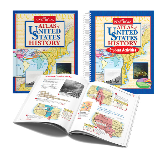
Go beyond geography and contextualize U.S. history with a powerful, visual resource that helps students connect events to place. The Nystrom Atlas of United States History organizes ten chronological units around recurring themes to build historical continuity, encourage cause-and-effect thinking, and reinforce key social studies skills.What’s Included:
-
30 copies of the Nystrom Atlas of United States History
-
135-page reproducible Student Activity Book
Features:
-
Timelines and period overviews at the start of every unit
-
Captioned, full-color maps and images that guide student understanding
-
Opportunities for students to gather, organize, and synthesize evidence from text and visuals
-
Activities that strengthen historical thinking, geographic literacy, and content knowledge
-
Written at an approachable level and ELL-friendly
The U.S. History Atlas Pack helps students see history in context—building deeper understanding through maps, visuals, and active learning.
Watch a video to learn more!
View a sample here!
Help students visualize world history by connecting major events to geographic context. The Nystrom Atlas of World History presents ten chronological units that highlight recurring themes and global patterns, encouraging deeper engagement and a stronger sense of historical continuity and cause and effect.What’s Included:
-
30 copies of the Nystrom Atlas of World History
-
174-page reproducible Student Activity Book
Features:
-
Timelines and overviews at the start of each unit
-
“Historical Issues Today” articles that connect past and present
-
Captioned, full-color maps and images that support comprehension
-
A worldwide timetable showing simultaneous global events
-
Activities that reinforce geographic literacy, historical thinking, and content knowledge
-
Written at an approachable level and ELL-friendly
The World History Atlas Pack brings global events into focus—helping students make meaningful connections across time, place, and cultures through hands-on, visual learning.
Watch a video to learn more!
Sample coming soon!
Explore places near and far with the Nystrom World Atlas—a classroom favorite that strikes the perfect balance between clarity and depth. Covering all seven continents, this atlas helps middle and high school students build geographic literacy through rich maps, engaging visuals, and accessible content.What’s Included:
-
30 copies of the Nystrom World Atlas
-
116-page reproducible Student Activity Book
Features:
-
Regional studies of all seven continents with political, land cover, and thematic maps
-
Sculptural-relief (elevation) maps of the world and United States
-
Photos, infographics, and sidebars that add depth and context
-
Primary source excerpts and guidance for analyzing geographic themes
-
Activities that support map reading, data analysis, and critical thinking
-
Written at an approachable level and ELL-friendly
The World Atlas Pack helps students see the bigger picture—connecting geographic patterns and cultural insights through hands-on, visual exploration of our global landscape.
Watch a video to learn more!