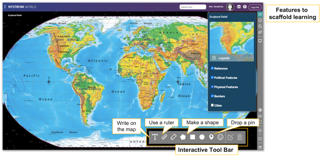
Equip high school classrooms with a range of interactive political, physical, and thematic maps as well as a 3D satellite globe with The Geographer. Teachers can scaffold learning by adding borders and features. And students can take ownership of their learning with the built-in toolbar.
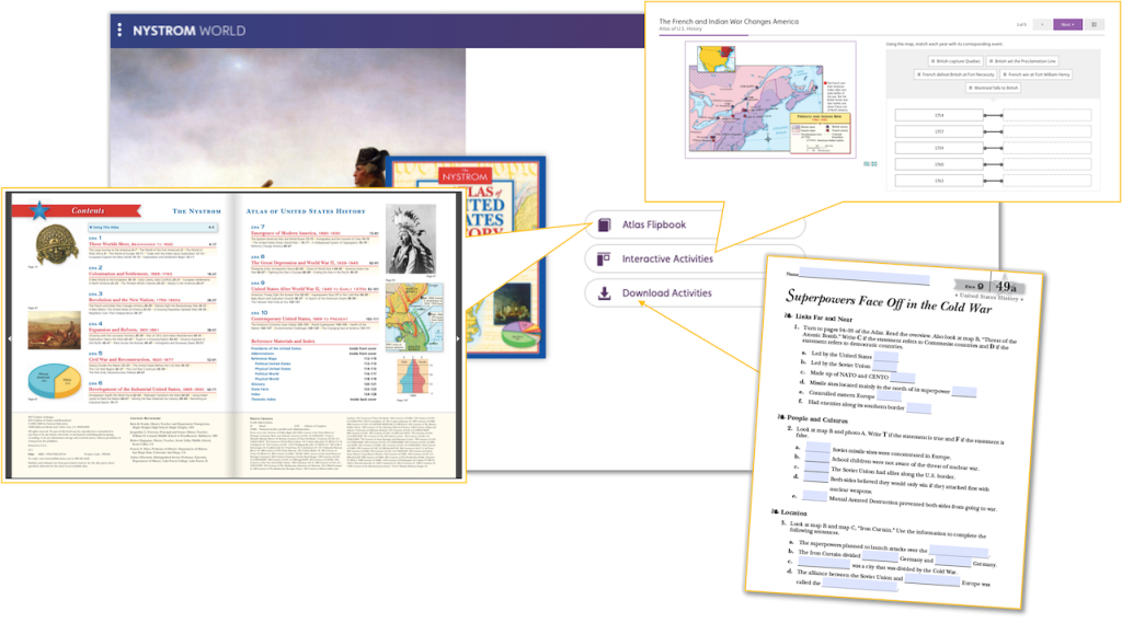
Access the high school collection of Nystrom atlases in the form of flipbooks through The Researcher. Download writable PDFs of the print activities and assign interactive activities, exclusive to Nystrom World. Students act upon their new learning using multistep problems and a variety of question types.
Supplement high school social studies with interactive mapping programs. The Explorer interactive mapping activities correspond to the print versions of the programs. These interactives guide students in reading, interpreting, and marking up digital maps.
Please fill out the form and your curriculum specialist will be in touch shortly.
Elementary
| Secondary
|
U.S. History
| World History
|
Texas
|