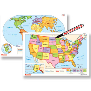
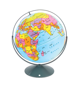
Lower elementary markable desk maps and globes use colors and labels to represent basic geographic concepts such as continents and oceans. These tools are scaffolded for young learners and designed to build a foundation of geographic literacy.


Upper elementary students interact with raised-relief, political, and physical desk maps and globes. Students learn more advanced map conventions like latitude and longitude, and their learning becomes even more tactile.
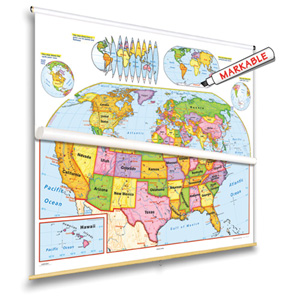
Using our markable wall maps, teachers can easily model skills and students can easily demonstrate new knowledge. Nystrom Early Learning and Readiness Map Sets combine U.S. and world maps, contextualizing learning by grounding it in place.

Please fill out the form and your curriculum specialist will be in touch shortly.
Elementary
| Secondary
|
U.S. History
| World History
|
Texas
|