Atlases for
New York classrooms
Help students visualize the history of New York and the United States
Evoke the spirit of investigation and exploration of our country and your state
NEW! Introducing the Nystrom Atlas of the History of the United States and New York State for Grade 7 and for Grade 8. Teach history in the context of geography to increase student engagement and skills retention.
Grade 7 Atlas Pack
Cover the history of the U.S. and New York from our country’s and your state’s beginnings through Reconstruction. The atlas features maps, graphs, charts, primary sources, statistics, and text that explain history.
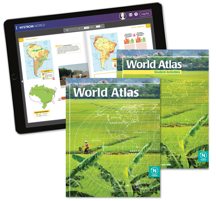
The Nystrom Atlas of the History of the United States and New York State Grade 7 atlas pack includes a set of 30 student atlases, student activity book, and 5-year digital license to both.


Grade 8 Atlas Pack
Cover the history of the U.S. and New York from the late 19th century to the present. The atlas features maps, graphs, charts, images, statistics, and text that explain history.
The Nystrom Atlas of the History of the United States and New York State Grade 8 atlas pack includes a set of 30 student atlases, student activity book, and 5-year digital license to both.
Discover all of the ways to enhance your classroom

Digital Atlases and Activities
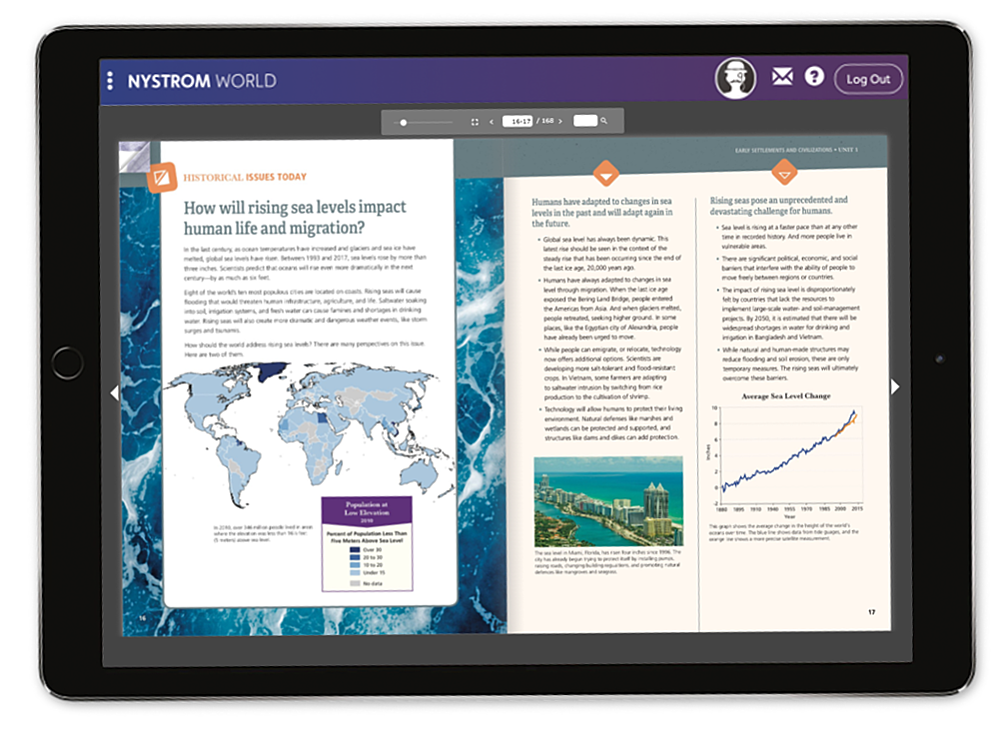
Nystrom World is the digital home for all of our maps, atlases, and mapping programs as well as exclusive interactive activities.
Access your atlas digitally from any device when you sign up for a subscription.
Search for and assign interactive activities to engage your 21st century learners.

Mapping Programs
Our mapping programs pair your favorite Nystrom atlases with markable activity maps and a teacher’s guide for a participatory, hands-on learning experience.
Our Mapping Programs:
Mapping U.S. and New York History: Grade 7
Mapping U.S. and New York History: Grade 8
Mapping Our World

