Introduce your youngest learners to geography skills and concepts in fun, engaging ways.
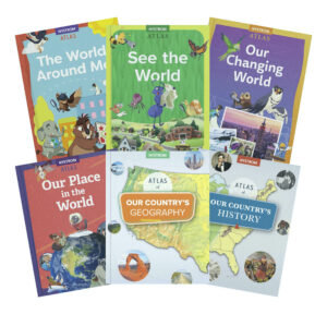
Discover What's Inside
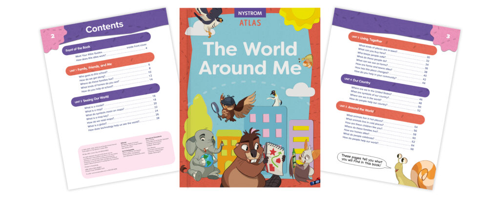
The World Around Me helps kindergartners learn about family, friends, and themselves as well as children around the world who are just like them. Compelling questions combined with colorful photos and maps engage young learners as they begin to build geographic literacy skills.
Planet Pals help teach kindergartners about the world around them, from their local communities to the larger world.
Build Foundational Skills
Kindergartners are introduced to geographic literacy skills and primary social studies concepts such as
learning how maps show information;
identifying symbols on maps;
comparing a globe and a map;
identifying different types of homes;
describing their own neighborhood; and
locating their state on a U.S. map.
Turnkey Activities
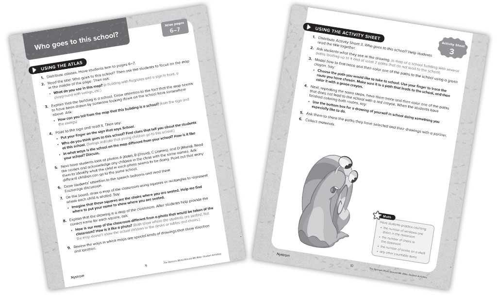
Kindergartners have fun applying their skills using activity sheets illustrated with photos, maps, and other engaging images.
The activities include step-by-step instructions to help teachers introduce the activity sheet, model how to complete it, and summarize what has been learned.
Literacy lessons give young learners practice with informational text and multiple opportunities to apply English language arts skills in the context of social studies.
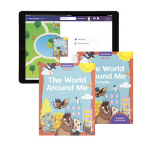
Digital Access Too!
Teachers can also access the e-atlas and download the activity book at Nystrom World. We make it easy for you to plan and print!
“The Atlases are age appropriate and are bright and inviting for the students. The teachers like the resources that go with the atlases since they connect with literacy lessons and standards. I also like how the atlases build upon each other each year, you can really see the progression of geography skills.”
Suzanne Gons
District Supervisor of Social Studies
Essential Geography Resources
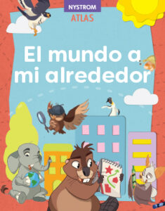
SPANISH VERSION
ATLAS PACK
K-5 BUNDLE
Register for a Free Trial
Please fill out the form and a curriculum specialist will be in touch shortly
Elementary
Maps: Primary: ELS
Maps: Primary: Readiness
Maps: Primary: Outline World Map
Maps: Intermediate: Physical
Maps: Intermediate: Political
Maps: Intermediate: Continents and Oceans Thematic
Maps: Intermediate: Wealth of Countries Thematic
Maps: Intermediate: Precipitation Thematic
Maps: Intermediate: Temperature Thematic
Maps: Intermediate: Time Zones Thematic
Maps: Intermediate: Land Use Thematic
Maps: Intermediate: Population Thematic
Maps: Intermediate: Outline World Map
U.S. History:1 Native Americans
U.S. History:2 Spanish Explorers
U.S. History:3 Explorers
U.S. History:4 The Great Exchange
U.S. History:5 European Settlements
U.S. History:6 Thirteen Britishi Colonies
U.S. History:7 Slevery In the Americas
U.S. History:8 Revolutionary War
State Map
Secondary
Maps: Intermediate: Physical
Maps: Intermediate: Political
Maps: Intermediate: Continents and Oceans Thematic
Maps: Intermediate: Wealth of Countries Thematic
Maps: Intermediate: Precipitation Thematic
Maps: Intermediate: Temperature Thematic
Maps: Intermediate: Time Zones Thematic
Maps: Intermediate: Land Use Thematic
Maps: Intermediate: Population Thematic
Maps: Intermediate: Outline World Map
Maps: Secondary: Land Use Thematic
Maps: Secondary: Population Thematic
Maps: Secondary: Political Relief
Maps: Secondary: Land Cover
Maps: Secondary: Scupltural Relief
Maps: Secondary: Growing Seasons Thematic
Maps: Secondary: Climate Thematic
Maps: Secondary: Tectonic Plates Thematic
Maps: Secondary: Precipitation Thematic
Maps: Secondary: Outline World Map
State Map
U.S. History
Native Americans
Spanish Explorers
Explorers
The Great Exchange
European Settlements
Thirteen British Colonies
Slavery in the Americas
Revolutionary War
American Expansion
Explorations of the West
Trails West
War with Mexico
Slavery Divides the Nation
Slavery and the Economy
Union and Confederacy
Civil War
Conflicts with Indians
Railroads Tansform the West
Industrial United States
Immigrants 1895–1929
World War I in Europe
Great Depression and Dust Bowl
World War II in Europe 1939–1942
World War II in the Pacific 1941–1945
Great Migration 1940–1970
Korean War
Cold War
Vietnam War
Persian Gulf War
A Shifting Population
Immigrants Sinve 1970
World History
New Babylonian Empire
Ancient Egypt
Chinese Dynasties
Ancient India
Athens and Sparta
Alexander’s Empire
Roman Empire
Barbarians and the Roman Empire
Silk Road and Eurasian Trade
Byzantine Empire
Charlemagne’s Frankish Empire and the Holy Roman Empire