Exploring Where and Why
A K-5 hands-on geography program helping
students understand where they are and why it matters!
Hands-On Learning
Exploring Where & Why gives students rich experiences that encourage them to discover for themselves an increasingly sophisticated set of concepts and skills.
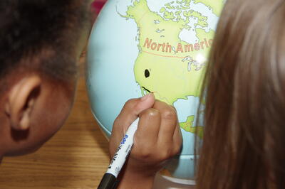
Markable Maps and Globes
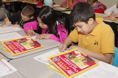
Atlases and the Digital Package
Provide students with an in-depth, sequential foundation for developing the concepts and skills to study people and places.
Teacher's Guides with Assessments and Activities
With the Teacher’s Guide and a Digital Package to support each atlas, teacher’s have all the tools they need to plan lessons, assign activities, and assess students.
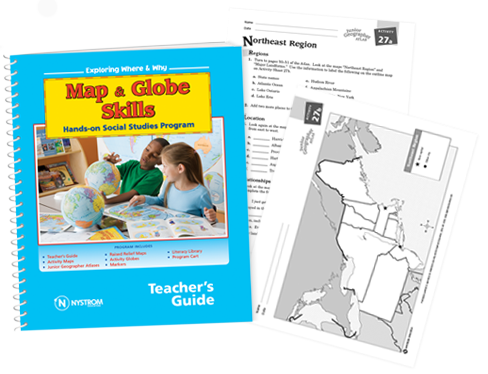
Exploring Where & Why is a Nystrom hands-on geography program for grades K-5. Discover how this program can revolutionize your classroom!
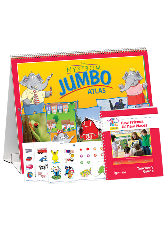
New Friends & New Places
Introduce kids to exploring their own neighborhood and the world's neighborhoods through familiar themes such as family, friends, and holidays. Our elephant friends in the Jumbo family help create personal connections to social studies concepts.
Included in Kindergarten:
- 1 Teacher’s Guide
- 1 Markable Jumbo Atlas (30 pages)
- 2 Floor Maps
- 8 Sheets of Static Clings
- 1 Wet-Erase Marker
- Digital Package
- downloadable Teacher's Guide with printable handouts
- digital Jumbo Atlas
- interactive mapping tools
- outline maps, graphic organizers, and activity ideas
FOR GRADES
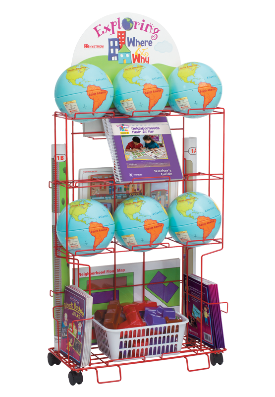
Neighborhoods Near & Far
Immerse students in exploring a typical small American neighborhood and how it is different from and similar to neighborhoods on other continents. The Block Buddy kids ask thought provoking questions about places where people live, work, and learn.
Included in Grade 1:
- 1 Teacher’s Guide
- 15 Block Buddy Atlases
- 6 Activity Globes
- 1 Floor Map
- with 20 model buildings
- 2 Wall Maps
- 30 Desk Maps - Residential & Business
- 30 Desk Maps - United States & World
- 4 Wide-tip, Wet-erase Markers
- 30 Fine-tip, Wet-erase Markers
- 1 Cart
- Digital Package
- downloadable Teacher's Guide with printable handouts
- digital Block Buddy Atlas
- interactive mapping tools
- outline maps, graphic organizers, and activity ideas
FOR GRADES
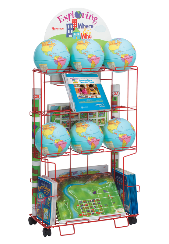
Communities Here & There
Involve students in exploring an expanded concept of community, introducing topics such as consumers, producers, and government. The friendly Nystronaut aliens, being outsiders, look to students for answers to questions requiring critical thought.
Included in Grade 2:
- 1 Teacher’s Guide
- 15 Nystronaut Atlases
- 6 Activity Globes
- 6 3-D Raised-Relief Maps
- 2 Wall Maps
- 30 Abstract & Bird's Eye Community Desk Maps
- 30 United States & World Desk Maps
- 4 Wide-tip, Wet-erase Markers
- 30 Fine-tip, Wet-erase Markers
- 1 Cart
- Digital Package
- downloadable Teacher's Guide with printable handouts
- digital Nystronaut Atlas
- interactive mapping tools
- outline maps, graphic organizers, and activity ideas
FOR GRADES
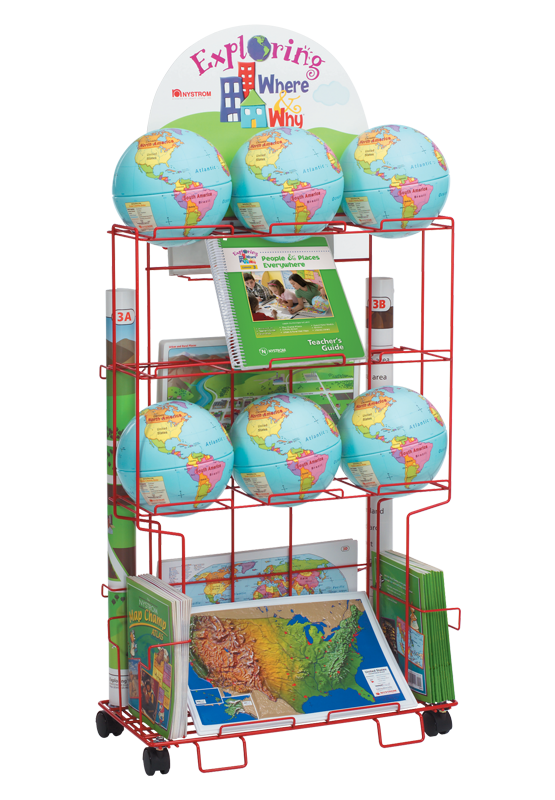
People & Places Everywhere
Broaden students' view of a community to include its wider region. Highlighting key concepts and asking critical-thinking questions., the Map Champ animals help students explore the size,location, history, and common needs of their own community and communities around the world.
Included in Grade 3:
- 1 Teacher’s Guide
- 15 Map Champ Atlases
- 6 Activity Globes
- 6 3-D Raised-relief Maps
- 2 Wall Maps
- 30 Desk Maps - Urban & Rural
- 30 Desk Maps - United States & World
- 4 Wide-tip, Wet-erase Markers
- 30 Fine-tip, Wet-erase Markers
- 1 Cart
- Digital Package
- downloadable Teacher's Guide with printable handouts
- digital Map Champ Atlas
- interactive mapping tools
- outline maps, graphic organizers, and activity ideas
FOR GRADES
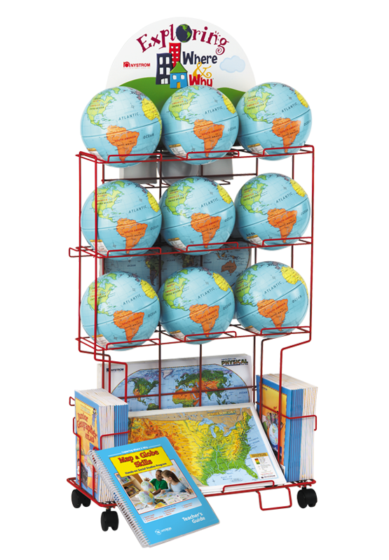
Maps & Globe Skills
Sharpen geography and social studies skills, then consolidate those skills as students apply them to exploring the regions of the United States. The team of Junior Geographers leads the way by making high-interest observations and asking tough questions.
Included in Grade 4:
- 1 Teacher’s Guide
- 15 Junior Geographer Atlases
- 9 Activity Globes
- 6 3-D Raised-relief Maps
- 15 Desk Maps - Physical United States & World
- 15 Desk Maps - Political United States & World
- 30 Fine-tip, Wet-erase Markers
- 1 Cart
- Digital Package
- downloadable Teacher's Guide with printable handouts
- digital Junior Geographer Atlas
- interactive mapping tools
- outline maps, graphic organizers, and activity ideas
FOR GRADES
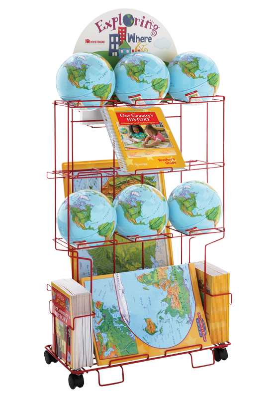
Our Country's History
Launch inquiry into American history with lessons that don't spoon-feed answers but instead ask essential questions. History literally "takes place" in student's' minds as they build their own understanding through real experience with hands-on activities.
Included in Grade 5:
- 1 Teacher’s Guide
- 15 Our Country’s History Atlases
- 6 Activity Globes
- 6 3-D Raised-relief Maps
- 15 Foldout Activity Maps - Physical United States, World, & Regions
- 15 Fine-tip, Wet-erase Markers
- 1 Cart
- Digital Package
- downloadable Teacher's Guide with in-depth lesson plans
- printable handouts for the traditional classroom
- 700+ additional social studies activities
- digital Our Country's History Atlas
- interactive mapping tools
- outline maps, graphic organizers, and activity ideas
FOR GRADES
Start Meeting Standards and Student Needs
Contact us
