Texas
The Nystrom
Exploring Texas Atlas
Clear and comprehensive methods to build geography skills with activities meant to make learning stick!
Discover Texas with the Exploring Texas Atlas Pack
Explore the heart of the Lone Star State with the Exploring Texas Atlas Pack, your all-in-one resource for teaching Texas’s geography, history, and cultural heritage. Featuring the Exploring Texas Atlas, this pack includes interactive learning tools, engaging activities, and vibrant visuals that help students build critical skills while uncovering the stories of Texas. Perfect for classroom or remote learning, the Exploring Texas Atlas Pack gives educators everything they need to bring Texas studies to their classrooms with hands-on, TEKS-aligned materials.
Why Choose the Exploring Texas Atlas?
A Complete Set for Classroom-Wide Learning
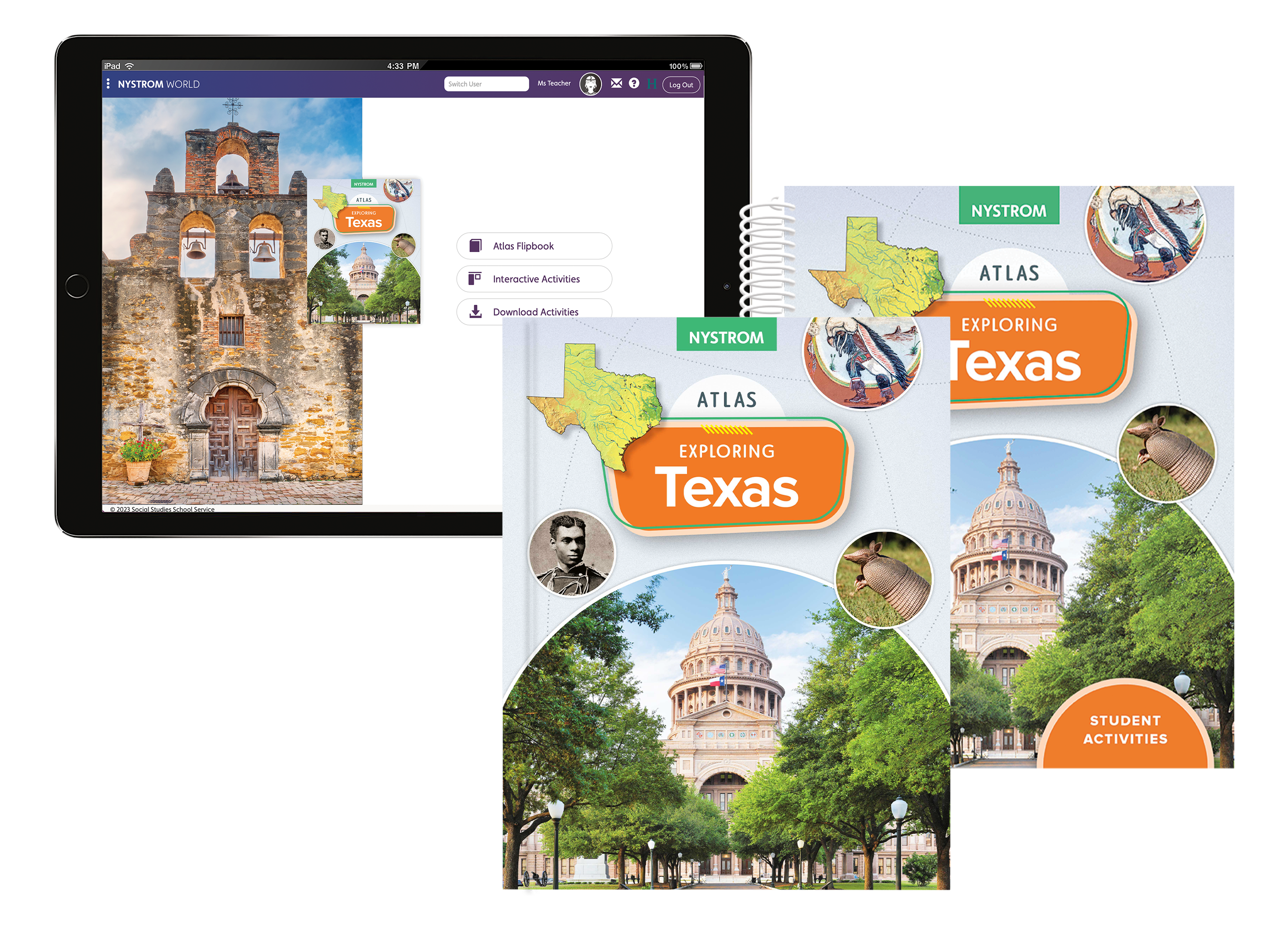
The Exploring Texas Atlas Pack makes it easy to outfit your entire classroom. This pack includes:
- 30 copies of the paperback atlas
- 1 reproducible student activity book
- 5-year subscription to the e-atlas and interactive activities
Perfect for class-wide projects, group activities, or independent learning, this set is designed to bring Texas studies to life for every student.
Discover Texas on Every Page
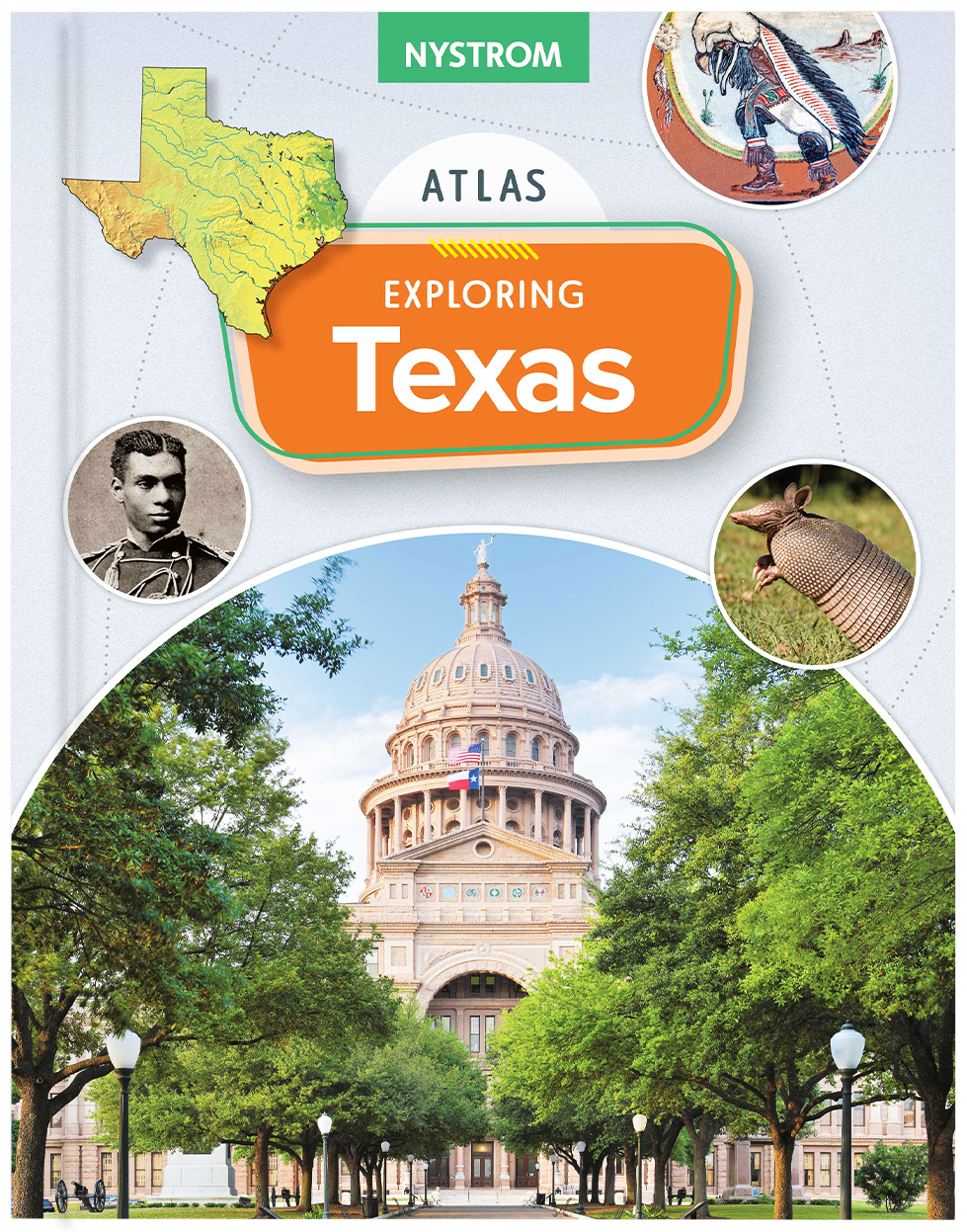
The durable paperback atlas invites students to investigate Texas with full-color maps, rich visuals, and concise content. Ideal for classroom or home study, this physical atlas fosters a tangible connection to Texas’s geography and history.
Features:
Detailed, Captioned Maps
Rich Visuals and Photography
Engage Students with Hands-On Activities
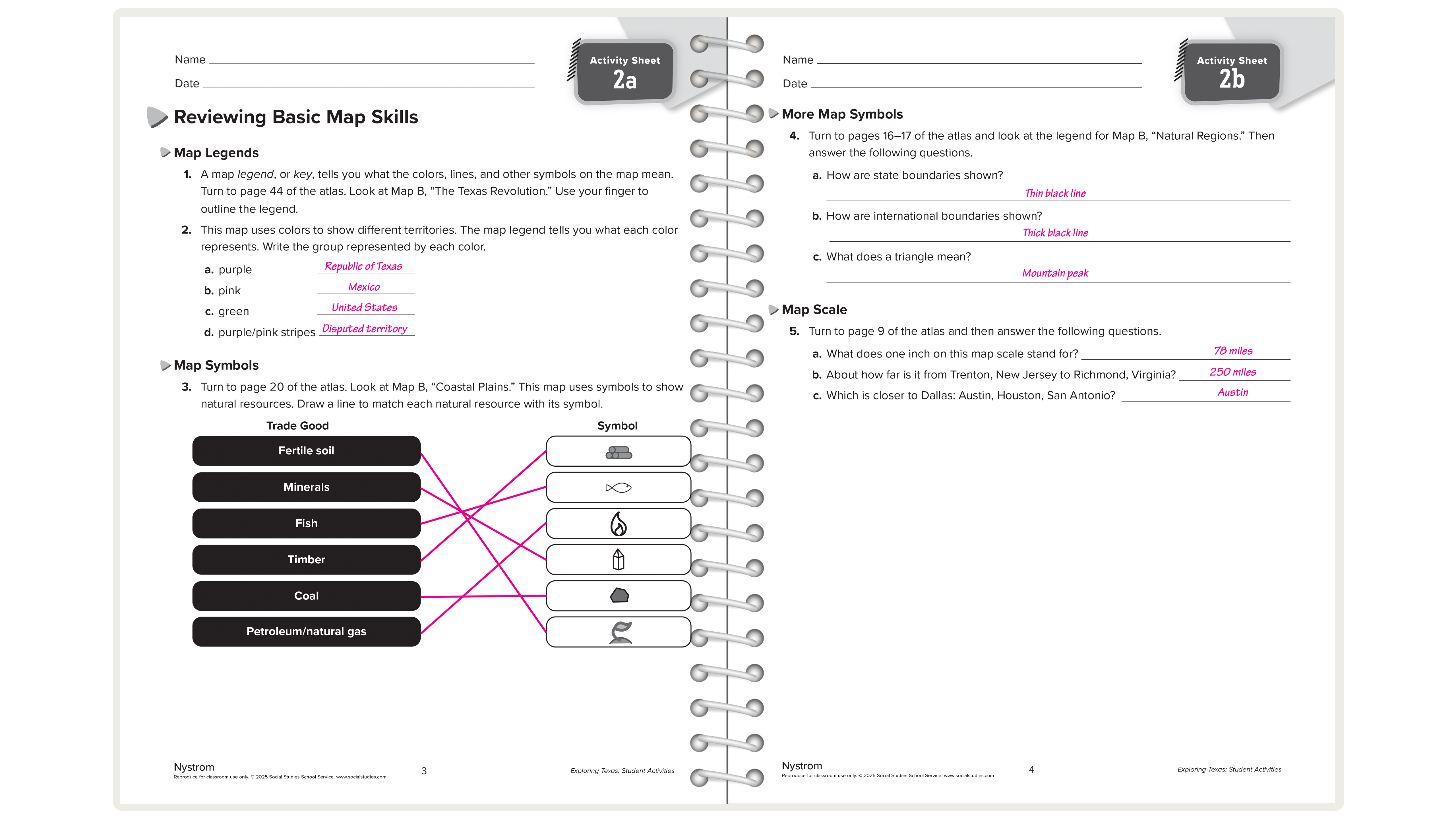
Designed to reinforce learning, the reproducible student activity book provides worksheets, questions, and interactive exercises that focus on map skills, geographic literacy, and critical thinking. Perfect for use in classrooms or as take-home activities.
Bring Texas to the Digital Classroom
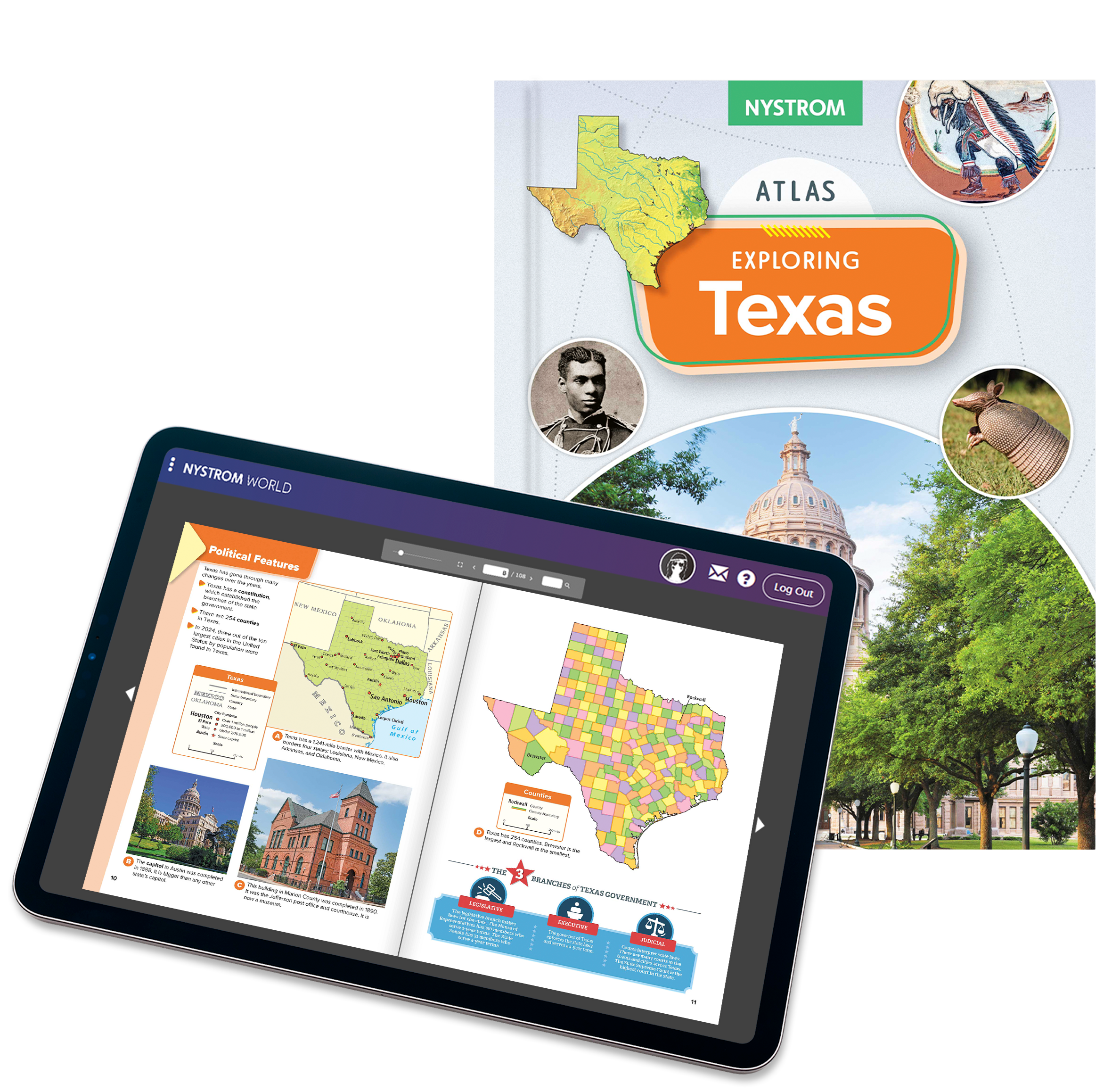
The Exploring Texas e-atlas and interactive activities provide a five-year digital subscription for flexible, accessible learning. Featuring:
- Digital e-book version of the Nystrom Atlas of Texas History
- Interactive maps, quizzes, and learning activities that make exploring Texas engaging and fun
- Downloadable student activity book for hands-on reinforcement
This digital option is ideal for remote or hybrid classrooms, offering students an interactive way to explore Texas history, geography, and culture.
Unlock Texas Studies for Your Classroom!
Whether you’re a teacher looking for reliable resources or an administrator focused on enhancing student learning, the Exploring Texas Atlas is built for both flexibility and impact. Combining high-quality print materials with digital tools, this series offers educators and students a multifaceted approach to exploring the uniqueness of Texas.
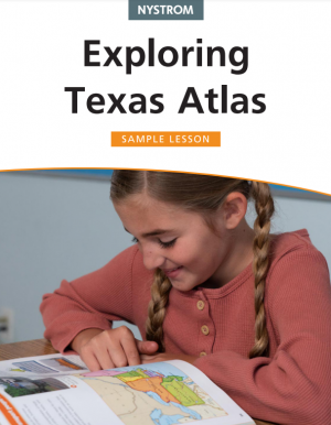
Download Your Free Sample Lesson from the Exploring Texas Atlas!
Experience the Exploring Texas Atlas in action with this free lesson sample! Dive into the political features of Texas, guiding students through engaging activities like exploring counties, analyzing the three branches of Texas government, and interpreting maps of Texas’s population.
The lesson includes thought-provoking questions and creative tasks, such as making a poster about historical landmarks, helping students develop critical thinking and geographic literacy.
Learn more about the Exploring Texas Atlas
Please fill out the form and your dedicated curriculum specialist will be in touch shortly.
