New York State blank map icon

NEW YORK

The Nystrom
Exploring New York Atlas

Clear and comprehensive methods to build geography skills with activities meant to make learning stick!

Coming soon to Empire State Classrooms!

Discover New York with the Exploring New York Atlas Pack

Explore the Empire State with the Exploring New York Atlas Pack, your all-in-one resource for teaching New York’s geography, history, and cultural heritage. Featuring the Exploring New York Atlas, this pack includes interactive learning tools, engaging activities, and vibrant visuals that help students build critical skills while uncovering the stories of New York. Perfect for classroom or remote learning, the Exploring New York Atlas Pack gives educators everything they need to bring New York studies to life with hands-on, standards-aligned materials.

Why Choose the Exploring New York Atlas?
MKTP-NW_G4-NY-atlas pack

A Complete Set for Classroom-Wide Learning

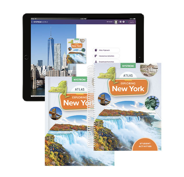
The Exploring New York Atlas Pack makes it easy to outfit your entire classroom. This pack includes:

  • 30 copies of the paperback atlas
  • 1 reproducible student activity book
  • 5-year subscription to the e-atlas and interactive activities


Perfect for class-wide projects, group activities, or independent learning, this set helps students explore New York’s geography and history in a meaningful way.
NYS0844NY_ExpNY-3d cvr

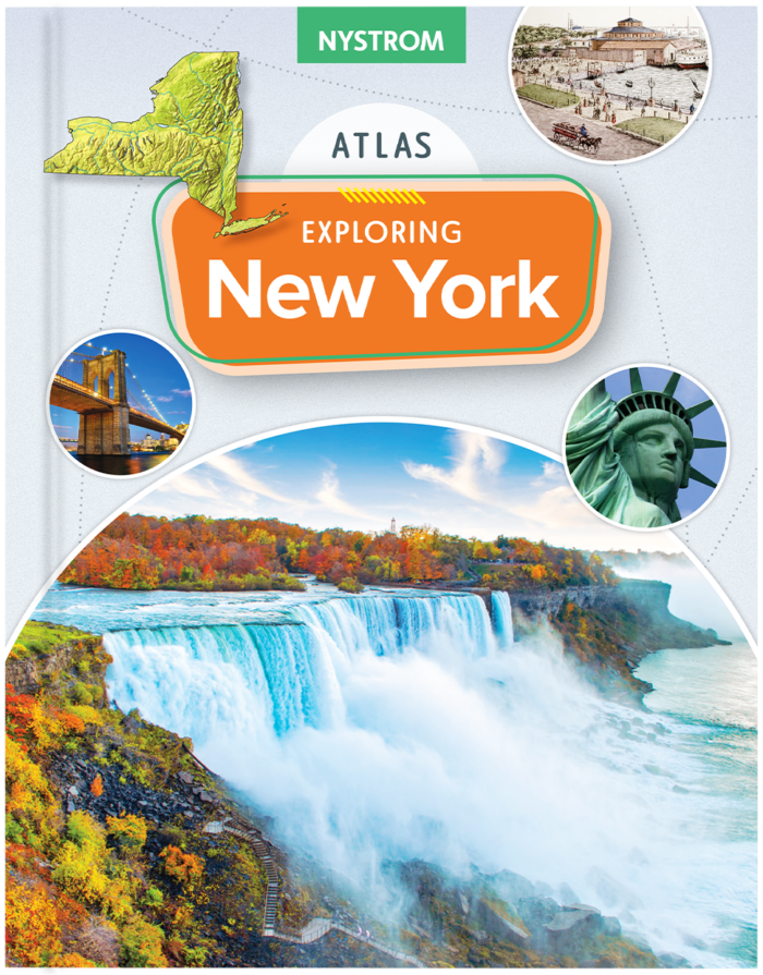
Discover New York on Every Page

The durable paperback atlas invites students to investigate New York with full-color maps, rich visuals, and engaging content. Ideal for classroom or home study, this physical atlas fosters a tangible connection to New York’s geography and history.

Features:

  • Detailed, Captioned Maps – Help students visualize key geographic and historical concepts
  • Rich Visuals and Photography – Engaging images bring New York’s past and present into focus
MKTP-NW_G4-NY-3d SA

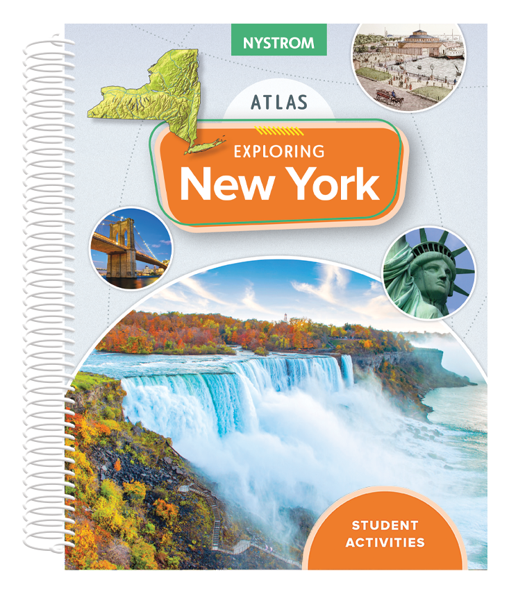
Engage Students with Hands-On Activities

Designed to reinforce learning, the reproducible student activity book provides worksheets, questions, and interactive exercises that focus on:

  • Map skills
  • Geographic literacy
  • Critical thinking


Perfect for use in classrooms or as take-home activities, this book helps students connect with New York’s history and geography in an engaging, interactive way.
MKTP-NW_G4-NY-3d cvr w digital spread

Bring New York to the Digital Classroom

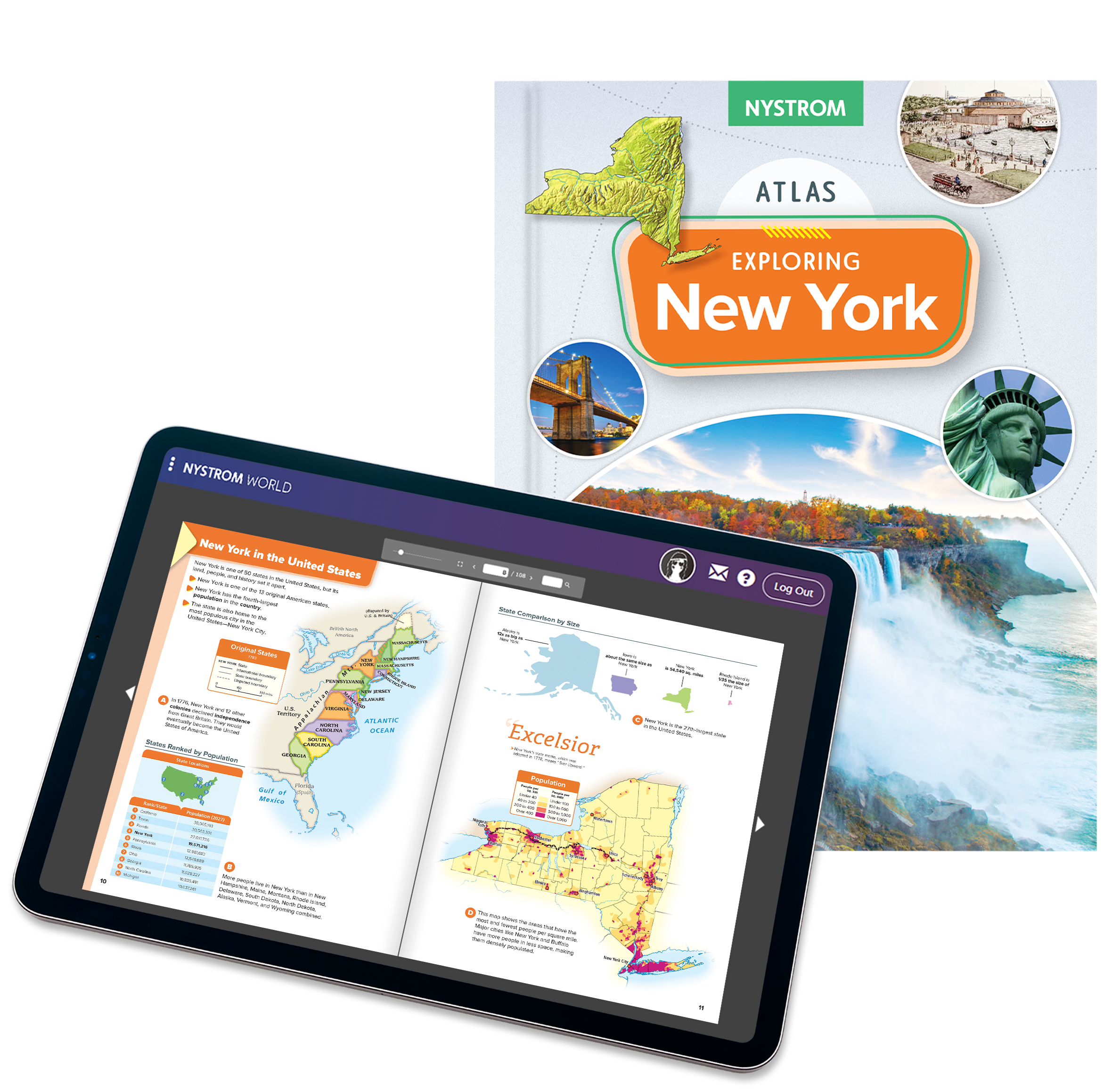
The Exploring New York e-atlas and interactive activities provide a five-year digital subscription for flexible, accessible learning.

Featuring:

  • A digital e-book version of the Nystrom Exploring New York Atlas
  • Interactive maps, quizzes, and learning activities that make exploring New York engaging and fun
  • Downloadable student activity book for hands-on reinforcement


This digital option is ideal for remote or hybrid classrooms, offering students an interactive way to explore New York’s history, geography, and culture.

Unlock New York Studies for Your Classroom!

Whether you’re a teacher looking for reliable, engaging resources or an administrator focused on enhancing student learning, the Exploring New York Atlas Pack is designed for flexibility and impact. Combining high-quality print materials with digital tools, this series offers a multifaceted approach to exploring the uniqueness of New York.

Get in touch to learn more about the Exploring New York Atlas!

Please fill out the form and your dedicated curriculum specialist will be in touch shortly.

Elementary

  • Maps: Primary: ELS
  • Maps: Primary: Readiness
  • Maps: Primary: Outline World Map
  • Maps: Intermediate: Physical
  • Maps: Intermediate: Political
  • Maps: Intermediate: Continents and Oceans Thematic
  • Maps: Intermediate: Wealth of Countries Thematic
  • Maps: Intermediate: Precipitation Thematic
  • Maps: Intermediate: Temperature Thematic
  • Maps: Intermediate: Time Zones Thematic
  • Maps: Intermediate: Land Use Thematic
  • Maps: Intermediate: Population Thematic
  • Maps: Intermediate: Outline World Map
  • U.S. History:1 Native Americans
  • U.S. History:2 Spanish Explorers
  • U.S. History:3 Explorers
  • U.S. History:4 The Great Exchange
  • U.S. History:5 European Settlements
  • U.S. History:6 Thirteen Britishi Colonies
  • U.S. History:7 Slevery In the Americas
  • U.S. History:8 Revolutionary War
  • State Map

Secondary

  • Maps: Intermediate: Physical
  • Maps: Intermediate: Political
  • Maps: Intermediate: Continents and Oceans Thematic
  • Maps: Intermediate: Wealth of Countries Thematic
  • Maps: Intermediate: Precipitation Thematic
  • Maps: Intermediate: Temperature Thematic
  • Maps: Intermediate: Time Zones Thematic
  • Maps: Intermediate: Land Use Thematic
  • Maps: Intermediate: Population Thematic
  • Maps: Intermediate: Outline World Map
  • Maps: Secondary: Land Use Thematic
  • Maps: Secondary: Population Thematic
  • Maps: Secondary: Political Relief
  • Maps: Secondary: Land Cover
  • Maps: Secondary: Scupltural Relief
  • Maps: Secondary: Growing Seasons Thematic
  • Maps: Secondary: Climate Thematic
  • Maps: Secondary: Tectonic Plates Thematic
  • Maps: Secondary: Precipitation Thematic
  • Maps: Secondary: Outline World Map
  • State Map

U.S. History

  • Native Americans
  • Spanish Explorers
  • Explorers
  • The Great Exchange
  • European Settlements
  • Thirteen British Colonies
  • Slavery in the Americas
  • Revolutionary War
  • American Expansion
  • Explorations of the West
  • Trails West
  • War with Mexico
  • Slavery Divides the Nation
  • Slavery and the Economy
  • Union and Confederacy
  • Civil War
  • Conflicts with Indians
  • Railroads Tansform the West
  • Industrial United States
  • Immigrants 1895–1929
  • World War I in Europe
  • Great Depression and Dust Bowl
  • World War II in Europe 1939–1942
  • World War II in the Pacific 1941–1945
  • Great Migration 1940–1970
  • Korean War
  • Cold War
  • Vietnam War
  • Persian Gulf War
  • A Shifting Population
  • Immigrants Sinve 1970

World History

  • New Babylonian Empire
  • Ancient Egypt
  • Chinese Dynasties
  • Ancient India
  • Athens and Sparta
  • Alexander’s Empire
  • Roman Empire
  • Barbarians and the Roman Empire
  • Silk Road and Eurasian Trade
  • Byzantine Empire
  • Charlemagne’s Frankish Empire and the Holy Roman Empire
  • Spread of Islam
  • World of the Crusades
  • China in the Middle Ages
  • Mongol Conquest
  • Rise and Fall of Shogun Japan
  • Exploration
  • Maya, Aztec, and Inca
  • European Exploration and Land Claims
  • African Empires and States
  • Rise of Ottoman Empire
  • Reformation and Counter Reformation
  • European Trading Empires
  • Rise and Fall of Mughal Empires
  • Independence in the Americas
  • Napoleon’s Europe
  • Europe After the Congress of Vienna
  • Africa Under Foreign Rule
  • World War I
  • World War II
  • Cold War
  • World Conflicts Since 1991

Texas

  • Spanish Explorers
  • Western Explorations
  • Trails West
  • War with Mexico
  • Indian Wars
  • Railroads & The West
  • Great Migration
  • population Loss and Growth
  • Native Americans in TX
  • Spanish Settlements
  • Republic of Texas
  • Energy Resources of TX
  • Texas Readiness Map
  • Texas Desk Map
  • Texas State Map