

Beginnings
Kindergartners start learning about their neighborhoods and communities through hands-on geography resources that empower them to understand the world around them.
Components
- Encompass Beginnings Teacher's Guide
- The World Around Me Big Book Atlas
- 30 The World Around Me student atlases
- 6 9" activity globes
- 15 community desk maps
- 6 Social Studies Place Mats
- 6 raised relief maps
- 30 wide-tipped markers
- Elementary Atlas Cart
- 5-year subscription to interactive platform

Viewpoints
First graders are introduced to geography by identifying symbols, land, and water on a map, and learning about neighborhoods, our country, and the world.
Components
- Encompass Viewpoints Teacher's Guide
- 30 See the World student atlases
- 6 9" activity globe
- 30 U.S./world desk maps
- 15 community desk maps
- 6 Social Studies Place Mats
- 6 raised relief maps
- 30 wide-tipped markers
- Elementary Atlas Cart
- 5-year subscription to interactive platform

Changes
Second graders focus on new concepts and topics, such as natural features, community changes over time, U.S. population changes, and protecting our world.
Components
- Encompass Changes Teacher's Guide
- 30 Our Changing World student atlases
- 6 9" activity globe
- 30 U.S./world desk maps
- 15 community desk maps
- 6 Social Studies Place Mats
- 6 raised relief maps
- 30 narrow-tipped markers
- Elementary Atlas Cart
- 5-year subscription to interactive platform

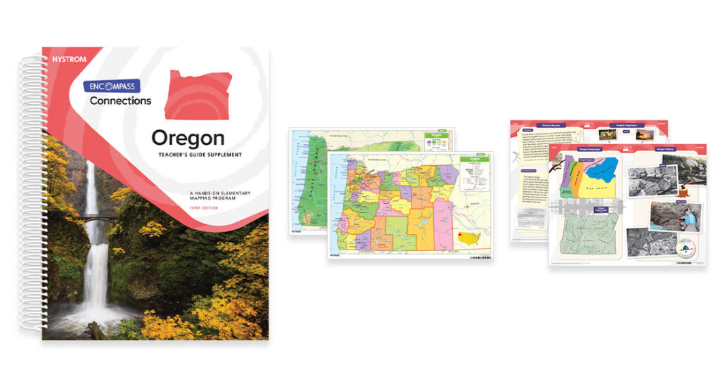
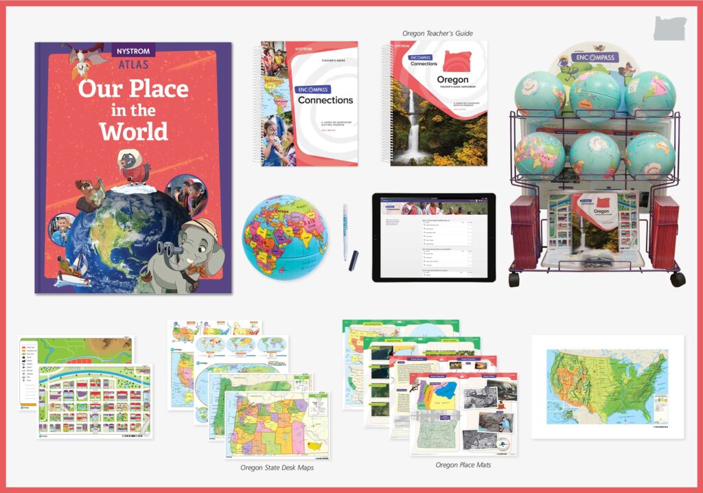
Connections
Third graders explore additional concepts and topics, including cardinal directions, latitude and longitude, and taking action in communities, in our country, and around the world.
Components
- Encompass Connections Teacher's Guide
- 30 Our Place in the World student atlases
- 6 9" activity globe
- 30 U.S./world desk maps
- 15 community desk maps
- 6 Social Studies Place Mats
- 6 raised relief maps
- 30 narrow-tipped markers
- Elementary Atlas Cart
- 5-year subscription to interactive platform
- Teacher's Guide Supplement
- 30 Oregon desk maps
- 6 Oregon Place Mats

U.S. Regions
Fourth graders focus even more on geography by decoding maps and exploring physical, political, and thematic maps and studying our country's diverse
geographic regions.
Components
- Encompass U.S. Regions Teacher's Guide
- 30 Our Country's Geography student atlases
- 6 9" activity globe
- 30 U.S./world physical desk maps
- 15 U.S./world political desk maps
- 6 Social Studies Place Mats
- 6 raised relief maps
- 30 narrow-tipped markers
- Elementary Atlas Cart
- 5-year subscription to interactive platform
- Teacher's Guide Supplement
- 30 Oregon desk maps
- 6 Oregon Place Mats

U.S. History
Fifth graders explore the geographic history of our country, including the time of the first Americans to twentieth-century America and modern America's
changing population and technological advances.
Components
- Encompass U.S. History Teacher's Guide
- 30 Our Country's History student atlases
- 6 9" activity globe
- 30 U.S./world folding desk maps
- 6 Social Studies Place Mats
- 6 raised relief maps
- 30 narrow-tipped markers
- Elementary Atlas Cart
- 5-year subscription to interactive platform