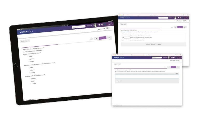
Give young learners multiple opportunities to interact with text and visuals, including images with captions. Your students will also explore local, national, and world maps with legends—scaffolded to meet them where they are and prepare them for the next grade level.


The activities guide students in using geographic skills to investigate and answer questions. Students also practice interpreting a variety of developmentally appropriate—and visually engaging—maps, graphs, and charts.
Atlas packs include digital access to the e-atlas and interactive activities, which mirror the print versions. Students get practice with a variety of question types, including fill in the blank, sorting, and drag and drop.

Please fill out the form and your curriculum specialist will be in touch shortly.
Elementary
| Secondary
|
U.S. History
| World History
|
Texas
|