
From the first Texans to today, explore the story of a state like no other.
Tell the story of Texas through maps, graphs, charts, and images that show how people, places, and events shaped Texas, from its beginnings to today. That’s the Nystrom Atlas of Texas History, designed to meet TEKS objectives and history standards. Students will uncover the stories of diverse Texans, trace the state’s evolution from its earliest inhabitants to modern times—while building critical thinking skills, background knowledge, and geographic literacy.
Choose your adventure, using the Texas History Atlas Pack or Mapping Texas History Program.
Understanding Texas begins with seeing how its geography, people, and history intertwine. The Texas History Atlas Pack invites students to explore the connections between land and legacy, encouraging them to think critically about how geography has influenced every era of Texas’s development.
The atlas helps learners visualize history in context—transforming abstract timelines into real, relatable experiences that make Texas studies come alive. Teachers gain a meaningful way to meet TEKS standards while inspiring curiosity and deeper comprehension.
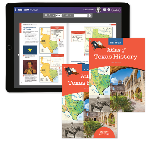
The Atlas Pack for the Atlas of Texas History brings together the atlas, student activities, and digital platform for a seamless curriculum.
When students connect maps to moments, they begin to see history not just as facts and dates, but as stories that unfolded in real places. Grounding learning in geography helps them make sense of the people, events, and environments that shaped Texas—building context, curiosity, and deeper understanding along the way.
Through guided exploration and hands-on analysis, Mapping Texas History empowers students to use maps as tools for discovery. They learn to examine evidence, identify patterns, and draw meaningful connections between the land and the lessons of history, turning exploration into genuine insight.
The Atlas Pack for the Atlas of Texas History brings together the atlas, student activities, and digital platform for a seamless curriculum.
Please fill out the form and your dedicated curriculum specialist will be in touch shortly
Elementary
| Secondary
|
U.S. History
| World History
|
Texas
|