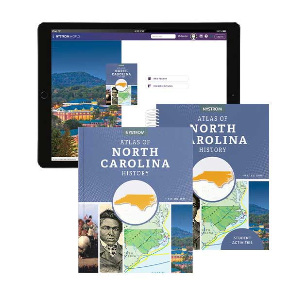
North Carolina

The Nystrom Atlas
of North Carolina History

Clear and comprehensive methods to build geography skills while visualizing history

A New Way to Use Atlases

This first edition of the Nystrom Atlas of North Carolina History uses a variety of approaches to teach about North Carolina in a new and exciting way, incorporating graphs, maps, charts, and images.

North Carolina_state_org

The first-edition Nystrom Atlas of North Carolina History is specifically designed to meet North Carolina's newly approved social studies standards. The atlas guides students in exploring your state's first inhabitants to its independence to modern times.
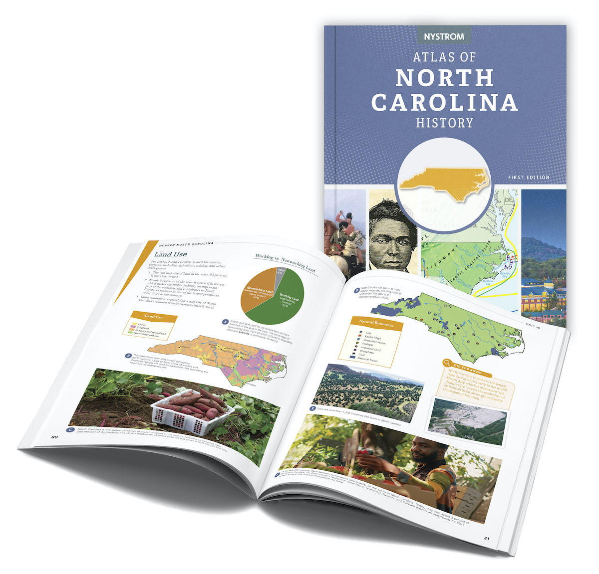
Atlas of North Carolina History Cover and Inside Spread

The first edition Nystrom Atlas of North Carolina History includes both political and physical maps of North Carolina, the United States, and the world. Also included are various infographics to engage reluctant readers, and spreads featuring notable North Carolinians and the impact they have made in North Carolina.
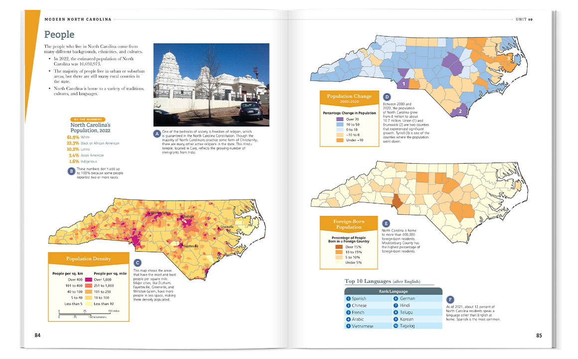
Modern North Carolina Atlas Spread


Modern North Carolina

Encourage discussion by using the Modern North Carolina unit to compare and contrast the changes that have occurred in the state over the years. Students can pinpoint significant changes and discuss how these changes have made an impact on North Carolina.
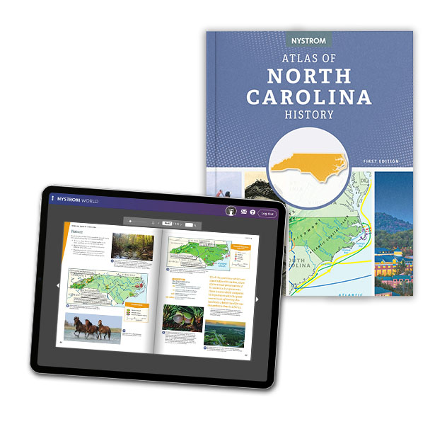
Atlas of North Carolina History Digital

Available in Print and Digital

Bring the Nystrom Atlas of North Carolina History to life both at home and in the classroom. All the great information available in the atlas is easy to explore digitally. Create a fun and interactive experience for students.

In This Edition

Discover the geographic history of North Carolina in this beautifully illustrated atlas. Your students will uncover historical facts from the time of the first inhabitants and learn about the diversity of modern North Carolina guided by a variety of engaging activities.

Notable Content:

  • Easy-to-understand “Using This Atlas” guide
  • Notable North Carolinians who played major roles in history
  • Land maps showcasing geographic diversity
  • Conflicts between different groups that settled North Carolina
  • Modern North Carolina Unit exploring life today
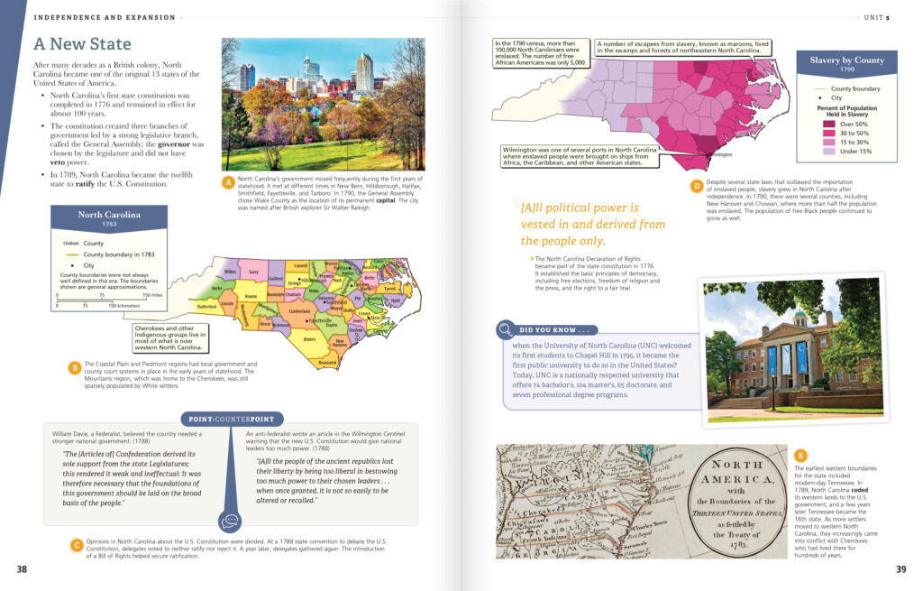
Atlas of North Carolina History Spread

Atlas Pack

The Atlas Pack brings together the atlas, student activities, and digital platform for a seamless curriculum.

Included in the Atlas Pack: 
  • 30 copies of the atlas
  • Reproducible student activities book
  • 5-year access on Nystrom World, including
    • e-atlas,
    • interactive activities, and
    • downloadable student activity book
Image of a quotation mark
“Now more than ever, students need the intellectual power to recognize societal problems, ask good questions and develop robust investigations into them, consider possible solutions and consequences, separate evidence-based claims from parochial opinions, and communicate and act upon what they learn.”
C3 Framework
for Social Studies School Standards

Learn more about the Atlas of North Carolina History.

Please fill out the form, and your dedicated curriculum specialist will be in touch shortly

Elementary

  • Maps: Primary: ELS
  • Maps: Primary: Readiness
  • Maps: Primary: Outline World Map
  • Maps: Intermediate: Physical
  • Maps: Intermediate: Political
  • Maps: Intermediate: Continents and Oceans Thematic
  • Maps: Intermediate: Wealth of Countries Thematic
  • Maps: Intermediate: Precipitation Thematic
  • Maps: Intermediate: Temperature Thematic
  • Maps: Intermediate: Time Zones Thematic
  • Maps: Intermediate: Land Use Thematic
  • Maps: Intermediate: Population Thematic
  • Maps: Intermediate: Outline World Map
  • U.S. History:1 Native Americans
  • U.S. History:2 Spanish Explorers
  • U.S. History:3 Explorers
  • U.S. History:4 The Great Exchange
  • U.S. History:5 European Settlements
  • U.S. History:6 Thirteen Britishi Colonies
  • U.S. History:7 Slevery In the Americas
  • U.S. History:8 Revolutionary War
  • State Map

Secondary

  • Maps: Intermediate: Physical
  • Maps: Intermediate: Political
  • Maps: Intermediate: Continents and Oceans Thematic
  • Maps: Intermediate: Wealth of Countries Thematic
  • Maps: Intermediate: Precipitation Thematic
  • Maps: Intermediate: Temperature Thematic
  • Maps: Intermediate: Time Zones Thematic
  • Maps: Intermediate: Land Use Thematic
  • Maps: Intermediate: Population Thematic
  • Maps: Intermediate: Outline World Map
  • Maps: Secondary: Land Use Thematic
  • Maps: Secondary: Population Thematic
  • Maps: Secondary: Political Relief
  • Maps: Secondary: Land Cover
  • Maps: Secondary: Scupltural Relief
  • Maps: Secondary: Growing Seasons Thematic
  • Maps: Secondary: Climate Thematic
  • Maps: Secondary: Tectonic Plates Thematic
  • Maps: Secondary: Precipitation Thematic
  • Maps: Secondary: Outline World Map
  • State Map

U.S. History

  • Native Americans
  • Spanish Explorers
  • Explorers
  • The Great Exchange
  • European Settlements
  • Thirteen British Colonies
  • Slavery in the Americas
  • Revolutionary War
  • American Expansion
  • Explorations of the West
  • Trails West
  • War with Mexico
  • Slavery Divides the Nation
  • Slavery and the Economy
  • Union and Confederacy
  • Civil War
  • Conflicts with Indians
  • Railroads Tansform the West
  • Industrial United States
  • Immigrants 1895–1929
  • World War I in Europe
  • Great Depression and Dust Bowl
  • World War II in Europe 1939–1942
  • World War II in the Pacific 1941–1945
  • Great Migration 1940–1970
  • Korean War
  • Cold War
  • Vietnam War
  • Persian Gulf War
  • A Shifting Population
  • Immigrants Sinve 1970

World History

  • New Babylonian Empire
  • Ancient Egypt
  • Chinese Dynasties
  • Ancient India
  • Athens and Sparta
  • Alexander’s Empire
  • Roman Empire
  • Barbarians and the Roman Empire
  • Silk Road and Eurasian Trade
  • Byzantine Empire
  • Charlemagne’s Frankish Empire and the Holy Roman Empire
  • Spread of Islam
  • World of the Crusades
  • China in the Middle Ages
  • Mongol Conquest
  • Rise and Fall of Shogun Japan
  • Exploration
  • Maya, Aztec, and Inca
  • European Exploration and Land Claims
  • African Empires and States
  • Rise of Ottoman Empire
  • Reformation and Counter Reformation
  • European Trading Empires
  • Rise and Fall of Mughal Empires
  • Independence in the Americas
  • Napoleon’s Europe
  • Europe After the Congress of Vienna
  • Africa Under Foreign Rule
  • World War I
  • World War II
  • Cold War
  • World Conflicts Since 1991

Texas

  • Spanish Explorers
  • Western Explorations
  • Trails West
  • War with Mexico
  • Indian Wars
  • Railroads & The West
  • Great Migration
  • population Loss and Growth
  • Native Americans in TX
  • Spanish Settlements
  • Republic of Texas
  • Energy Resources of TX
  • Texas Readiness Map
  • Texas Desk Map
  • Texas State Map